Area Overview for BH11 9NZ
Photos of BH11 9NZ
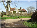
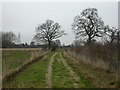
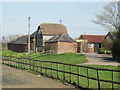
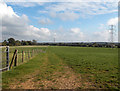
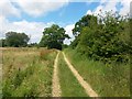
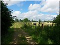
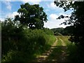
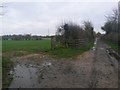
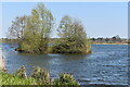
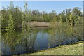
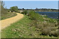
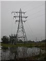
16 photos from this area
Area Information
Key information about the BH11 9NZ including its size, population, and administrative classification.
- Area Type
- Postcode
- Area Size
- 16.0 hectares
- Population
- Not available
- Population Density
- Not available
House Prices in BH11 9NZ
17
Properties
£245,664
Average Sold Price
£740
Lowest Price
£655,000
Highest Price
Showing 17 properties
| Address | Type | Beds | Baths | Last Sale Price | Last Sale Date | |
|---|---|---|---|---|---|---|
| 104 Bear Cross Avenue, Bournemouth, BH11 9NZ | Semi-detached | - | - | £740 | Jun 2023 | |
| 108 Bear Cross Avenue, Bournemouth, BH11 9NZ | Semi-detached | 2 | - | £900 | Jun 2023 | |
| 118 Bear Cross Avenue, Bournemouth, BH11 9NZ | Semi-detached | 3 | 1 | £347,000 | Apr 2023 | |
| 116 Bear Cross Avenue, Bournemouth, BH11 9NZ | Semi-detached | 2 | 1 | £355,000 | Apr 2023 | |
| 100 Bear Cross Avenue, Bournemouth, BH11 9NZ | Semi-detached | 2 | - | £345,000 | Dec 2022 | |
| 120 Bear Cross Avenue, Bournemouth, BH11 9NZ | Retail | 5 | 3 | £655,000 | Aug 2022 | |
| 94 Bear Cross Avenue, Bournemouth, BH11 9NZ | Semi-detached | 2 | 1 | £275,000 | Apr 2021 | |
| 106 Bear Cross Avenue, Bournemouth, BH11 9NZ | Bungalow | - | - | £250,000 | Dec 2017 | |
| 102 Bear Cross Avenue, Bournemouth, BH11 9NZ | house | - | - | £168,000 | Jun 2011 | |
| 98 Bear Cross Avenue, Bournemouth, BH11 9NZ | Semi-detached | - | - | £60,000 | Mar 1996 |
Page 1 of 2
Energy Efficiency in BH11 9NZ
Amenities
Schools
| Rank | School | Type | Entry gender | Ages |
|---|
Explore more schools in this area
Go to Schools tabDemographics
Household Size
Two person
most common
Accommodation Type
Houses
most common
Tenure
72
majority
Ethnic Group
White
most common
Religion
N/A
most common
Household Composition
N/A
most common
Age
47
median
Adults (30-64 years)
most common
Household Deprivation
N/A
with no deprivation
NS-SEC
25
in Lower managerial occupations
Explore more demographic insights in this area
Go to Demographics tabPlanning
Planning Constraints
- Flood RiskPremium
- Ramsar Wetland SitesPremium
- Area of Outstanding Natural BeautyPremium
- Protected Nature ReservePremium
- Protected WoodlandPremium