Area Overview for BH10 6DN
Photos of BH10 6DN
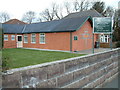
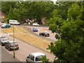
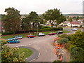
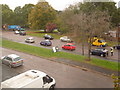
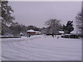
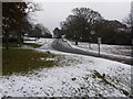
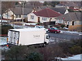
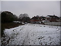
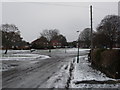
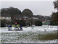
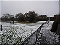
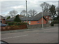
100 photos from this area
Area Information
Key information about the BH10 6DN including its size, population, and administrative classification.
- Area Type
- Postcode
- Area Size
- 1.2 hectares
- Population
- 1546
- Population Density
- 4794 people/km²
House Prices in BH10 6DN
25
Properties
£310,263
Average Sold Price
£104,000
Lowest Price
£450,000
Highest Price
Showing 25 properties
| Address | Type | Beds | Baths | Last Sale Price | Last Sale Date | |
|---|---|---|---|---|---|---|
| 31 Palfrey Road, Bournemouth, BH10 6DN | Bungalow | 3 | 1 | £380,000 | Mar 2025 | |
| 44 Palfrey Road, Bournemouth, BH10 6DN | Bungalow | 3 | 2 | £365,000 | Sep 2024 | |
| 37 Palfrey Road, Bournemouth, BH10 6DN | Bungalow | - | - | £320,000 | Nov 2023 | |
| 29 Palfrey Road, Bournemouth, BH10 6DN | Bungalow | 3 | 2 | £386,000 | Aug 2023 | |
| 41 Palfrey Road, Bournemouth, BH10 6DN | Bungalow | - | - | £365,000 | Sep 2021 | |
| 36 Palfrey Road, Bournemouth, BH10 6DN | Bungalow | 3 | - | £450,000 | May 2021 | |
| 33 Palfrey Road, Bournemouth, BH10 6DN | Bungalow | - | - | £400,000 | Jun 2020 | |
| 42 Palfrey Road, Bournemouth, BH10 6DN | Bungalow | - | - | £440,000 | Sep 2019 | |
| 53 Palfrey Road, Bournemouth, BH10 6DN | Bungalow | - | - | £360,000 | Jun 2018 | |
| 27 Palfrey Road, Bournemouth, BH10 6DN | Bungalow | 4 | 1 | £350,000 | Oct 2016 |
Page 1 of 3
Energy Efficiency in BH10 6DN
Amenities
Schools
| Rank | School | Type | Entry gender | Ages |
|---|
Explore more schools in this area
Go to Schools tabDemographics
Household Size
Two person
most common
Accommodation Type
Houses
most common
Tenure
87
majority
Ethnic Group
White
most common
Religion
N/A
most common
Household Composition
N/A
most common
Age
47
median
Adults (30-64 years)
most common
Household Deprivation
N/A
with no deprivation
NS-SEC
33
in Lower managerial occupations
Explore more demographic insights in this area
Go to Demographics tabPlanning
Planning Constraints
- Flood RiskPremium
- Ramsar Wetland SitesPremium
- Area of Outstanding Natural BeautyPremium
- Protected Nature ReservePremium
- Protected WoodlandPremium