Area Overview for BH10 5BL
Photos of BH10 5BL
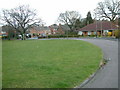
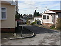
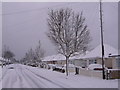
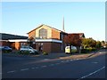
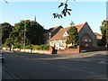
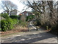
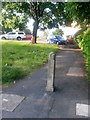
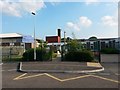
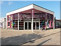
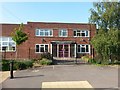
100 photos from this area
Area Information
Key information about the BH10 5BL including its size, population, and administrative classification.
- Area Type
- Postcode
- Area Size
- 2.0 hectares
- Population
- 1663
- Population Density
- 4586 people/km²
House Prices in BH10 5BL
29
Properties
£304,750
Average Sold Price
£130,000
Lowest Price
£550,000
Highest Price
Showing 29 properties
| Address | Type | Beds | Baths | Last Sale Price | Last Sale Date | |
|---|---|---|---|---|---|---|
| 73 Hill View Road, Bournemouth, BH10 5BL | Detached | 3 | 2 | £550,000 | Feb 2025 | |
| 99 Hill View Road, Bournemouth, BH10 5BL | Bungalow | 4 | 2 | £425,000 | Nov 2024 | |
| 71A Hill View Road, Bournemouth, BH10 5BL | Detached | 4 | 2 | £370,000 | Aug 2017 | |
| 101 Hill View Road, Bournemouth, BH10 5BL | Bungalow | 2 | 1 | £260,000 | Apr 2017 | |
| 89 Hill View Road, Bournemouth, BH10 5BL | Detached | 6 | - | £500,000 | Mar 2016 | |
| 77 Hill View Road, Bournemouth, BH10 5BL | Bungalow | 4 | - | £290,000 | Nov 2013 | |
| 77A Hill View Road, Bournemouth, BH10 5BL | Bungalow | 2 | 2 | £250,000 | Oct 2012 | |
| 85 Hill View Road, Bournemouth, BH10 5BL | house | - | - | £347,500 | Aug 2011 | |
| 95 Hill View Road, Bournemouth, BH10 5BL | Detached | - | - | £282,000 | Apr 2010 | |
| 75 Hill View Road, Bournemouth, BH10 5BL | Detached | - | - | £310,000 | Aug 2007 |
Page 1 of 3
Energy Efficiency in BH10 5BL
Amenities
Schools
| Rank | School | Type | Entry gender | Ages |
|---|
Explore more schools in this area
Go to Schools tabDemographics
Household Size
Two person
most common
Accommodation Type
Houses
most common
Tenure
74
majority
Ethnic Group
White
most common
Religion
N/A
most common
Household Composition
N/A
most common
Age
47
median
Adults (30-64 years)
most common
Household Deprivation
N/A
with no deprivation
NS-SEC
28
in Lower managerial occupations
Explore more demographic insights in this area
Go to Demographics tabPlanning
Planning Constraints
- Flood RiskPremium
- Ramsar Wetland SitesPremium
- Area of Outstanding Natural BeautyPremium
- Protected Nature ReservePremium
- Protected WoodlandPremium