Area Overview for BH10 4EB
Photos of BH10 4EB
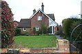
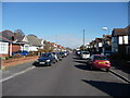
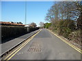
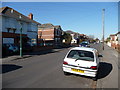
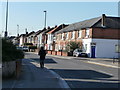
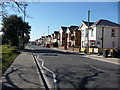
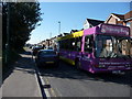
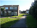
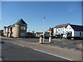
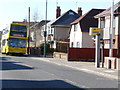
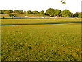
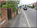
100 photos from this area
Area Information
Key information about the BH10 4EB including its size, population, and administrative classification.
- Area Type
- Postcode
- Area Size
- 6363 m²
- Population
- 1860
- Population Density
- 7317 people/km²
House Prices in BH10 4EB
20
Properties
£165,242
Average Sold Price
£16,000
Lowest Price
£310,000
Highest Price
Showing 20 properties
| Address | Type | Beds | Baths | Last Sale Price | Last Sale Date | |
|---|---|---|---|---|---|---|
| 77A Columbia Road, Bournemouth, BH10 4EB | Maisonette | 2 | 1 | £165,000 | Jun 2021 | |
| 99 Columbia Road, Bournemouth, BH10 4EB | house | - | - | £310,000 | Dec 2020 | |
| 83A Columbia Road, Bournemouth, BH10 4EB | Flat | - | - | £151,000 | Jul 2019 | |
| 83B Columbia Road, Bournemouth, BH10 4EB | Flat | 2 | 1 | £154,000 | Dec 2018 | |
| 85 Columbia Road, Bournemouth, BH10 4EB | Flat | - | - | £16,000 | May 2017 | |
| 97A Columbia Road, Bournemouth, BH10 4EB | Detached | 5 | 1 | £210,000 | Dec 2016 | |
| 85A Columbia Road, Bournemouth, BH10 4EB | Maisonette | 2 | - | £144,000 | Mar 2016 | |
| 97 Columbia Road, Bournemouth, BH10 4EB | Detached | 3 | 1 | £263,000 | Oct 2015 | |
| 103 Columbia Road, Bournemouth, BH10 4EB | Detached | 3 | 1 | £249,950 | Aug 2007 | |
| 79A Columbia Road, Bournemouth, BH10 4EB | Detached | 4 | 2 | £118,000 | May 2005 |
Page 1 of 2
Energy Efficiency in BH10 4EB
Amenities
Schools
| Rank | School | Type | Entry gender | Ages |
|---|
Explore more schools in this area
Go to Schools tabDemographics
Household Size
Family (3-5 people)
most common
Accommodation Type
Houses
most common
Tenure
72
majority
Ethnic Group
White
most common
Religion
N/A
most common
Household Composition
N/A
most common
Age
47
median
Adults (30-64 years)
most common
Household Deprivation
N/A
with no deprivation
NS-SEC
30
in Lower managerial occupations
Explore more demographic insights in this area
Go to Demographics tabPlanning
Planning Constraints
- Flood RiskPremium
- Ramsar Wetland SitesPremium
- Area of Outstanding Natural BeautyPremium
- Protected Nature ReservePremium
- Protected WoodlandPremium