Area Overview for BH1 3PG
Photos of BH1 3PG
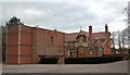
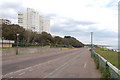
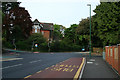
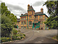
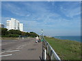
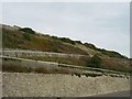

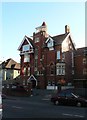


100 photos from this area
Area Information
Key information about the BH1 3PG including its size, population, and administrative classification.
- Area Type
- Postcode
- Area Size
- 1.4 hectares
- Population
- Not available
- Population Density
- Not available
House Prices in BH1 3PG
33
Properties
£283,300
Average Sold Price
£70,000
Lowest Price
£550,000
Highest Price
Showing 33 properties
| Address | Type | Beds | Baths | Last Sale Price | Last Sale Date | |
|---|---|---|---|---|---|---|
| 23 Annerley Road, Bournemouth, BH1 3PG | Terraced | 2 | 1 | £390,000 | Aug 2023 | |
| 19 Annerley Road, Bournemouth, BH1 3PG | house | - | - | £550,000 | Aug 2023 | |
| 9 Annerley Road, Bournemouth, BH1 3PG | house | - | - | £290,000 | Jun 2021 | |
| 21 Annerley Road, Bournemouth, BH1 3PG | Terraced | 2 | - | £256,600 | Aug 2019 | |
| 13 Annerley Road, Bournemouth, BH1 3PG | Terraced | 2 | 2 | £194,800 | Jul 2007 | |
| 5 Annerley Road, Bournemouth, BH1 3PG | Parking | 2 | 1 | £345,000 | Jul 2005 | |
| 2A Annerley Road, Bournemouth, BH1 3PG | Detached | - | - | £170,000 | Jul 1998 | |
| 15 Annerley Road, Bournemouth, BH1 3PG | Terraced | - | - | £70,000 | Apr 1998 | |
| 3 Annerley Road, Bournemouth, BH1 3PG | Terraced | 3 | 2 | - | - | |
| Flat 4, 4 Annerley Road, Bournemouth, BH1 3PG | Flat | 3 | 1 | - | - |
Page 1 of 4
Energy Efficiency in BH1 3PG
Amenities
Schools
| Rank | School | Type | Entry gender | Ages |
|---|
Explore more schools in this area
Go to Schools tabDemographics
Household Size
One person
most common
Accommodation Type
Flats
most common
Tenure
27
majority
Ethnic Group
White
most common
Religion
N/A
most common
Household Composition
N/A
most common
Age
22
median
Young Adults (15-29 years)
most common
Household Deprivation
N/A
with no deprivation
NS-SEC
18
in Lower managerial occupations
Explore more demographic insights in this area
Go to Demographics tabPlanning
Planning Constraints
- Flood RiskPremium
- Ramsar Wetland SitesPremium
- Area of Outstanding Natural BeautyPremium
- Protected Nature ReservePremium
- Protected WoodlandPremium