Area Overview for BA4 6RQ
Photos of BA4 6RQ
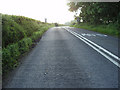
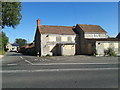
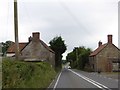
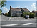
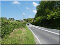
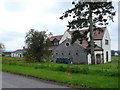
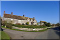
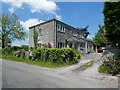
9 photos from this area
Area Information
Key information about the BA4 6RQ including its size, population, and administrative classification.
- Area Type
- Postcode
- Area Size
- 98.6 hectares
- Population
- 2102
- Population Density
- 41 people/km²
House Prices in BA4 6RQ
23
Properties
£592,857
Average Sold Price
£100,000
Lowest Price
£1,470,000
Highest Price
Showing 23 properties
| Address | Type | Beds | Baths | Last Sale Price | Last Sale Date | |
|---|---|---|---|---|---|---|
| Lindyson House, Wraxall Road, Wraxall, Shepton Mallet, BA4 6RQ | Detached | 4 | - | £700,000 | Nov 2024 | |
| Wraxall Vineyard, Wraxall Road, Wraxall, Shepton Mallet, BA4 6RQ | Detached | 4 | - | £100,000 | Feb 2021 | |
| Wraxall House, New Road, Wraxall, Shepton Mallet, BA4 6RQ | house | - | - | £1,470,000 | Jul 2020 | |
| Wraxall Lodge, Wraxall Road, Wraxall, Shepton Mallet, BA4 6RQ | house | 4 | - | £875,000 | Oct 2018 | |
| The Old Stable, New Road, Wraxall, Shepton Mallet, BA4 6RQ | Detached | 3 | 2 | £550,000 | Mar 2018 | |
| Owls Hatch, New Road, Wraxall, Shepton Mallet, BA4 6RQ | house | - | - | £345,000 | Apr 2016 | |
| Hillview, Wraxall Road, Wraxall, Shepton Mallet, BA4 6RQ | Detached | - | - | £110,000 | Oct 1998 | |
| Applegarth, Wraxall Road, Wraxall, Shepton Mallet, BA4 6RQ | Detached | 3 | 2 | - | - | |
| Blenheims, Wraxall Road, Wraxall, Shepton Mallet, BA4 6RQ | Bungalow | 3 | 1 | - | - | |
| 1, Hill Farm Cottages, Wraxall Road, Wraxall, Shepton Mallet, BA4 6RQ | Semi-detached | 3 | 1 | - | - |
Page 1 of 3
Energy Efficiency in BA4 6RQ
Amenities
Schools
| Rank | School | Type | Entry gender | Ages |
|---|
Explore more schools in this area
Go to Schools tabDemographics
Household Size
Two person
most common
Accommodation Type
Houses
most common
Tenure
77
majority
Ethnic Group
White
most common
Religion
N/A
most common
Household Composition
N/A
most common
Age
47
median
Adults (30-64 years)
most common
Household Deprivation
N/A
with no deprivation
NS-SEC
38
in Lower managerial occupations
Explore more demographic insights in this area
Go to Demographics tabPlanning
Planning Constraints
- Flood RiskPremium
- Ramsar Wetland SitesPremium
- Area of Outstanding Natural BeautyPremium
- Protected Nature ReservePremium
- Protected WoodlandPremium