Area Overview for BA4 4TF
Photos of BA4 4TF
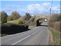
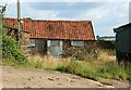
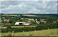
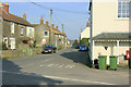
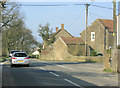
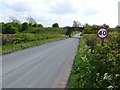
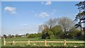
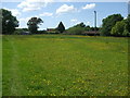
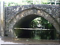
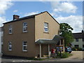

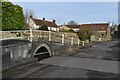
36 photos from this area
Area Information
Key information about the BA4 4TF including its size, population, and administrative classification.
- Area Type
- Postcode
- Area Size
- 16.7 hectares
- Population
- 2321
- Population Density
- 38 people/km²
House Prices in BA4 4TF
21
Properties
£342,809
Average Sold Price
£76,950
Lowest Price
£618,000
Highest Price
Showing 21 properties
| Address | Type | Beds | Baths | Last Sale Price | Last Sale Date | |
|---|---|---|---|---|---|---|
| Awen, The Street, Wanstrow, Shepton Mallet, BA4 4TF | house | - | - | £570,000 | Aug 2025 | |
| Still Meadow, Mead Lane, Wanstrow, Shepton Mallet, BA4 4TF | house | - | - | £576,000 | Jun 2023 | |
| Coombe Cottage, Mead Lane, Wanstrow, Shepton Mallet, BA4 4TF | house | - | - | £515,000 | Nov 2022 | |
| Greenfields, Mead Lane, Wanstrow, Shepton Mallet, BA4 4TF | Detached | 3 | 2 | £388,000 | Mar 2021 | |
| Riverside Cottage, The Street, Wanstrow, Shepton Mallet, BA4 4TF | Detached | 7 | 3 | £618,000 | Mar 2020 | |
| Three Kilns, Mead Lane, Wanstrow, Shepton Mallet, BA4 4TF | Detached | 3 | 1 | £325,000 | Dec 2014 | |
| Malthorne Rise, Mead Lane, Wanstrow, Shepton Mallet, BA4 4TF | Bungalow | 3 | 1 | £325,000 | Apr 2014 | |
| Hillcrest, Mead Lane, Wanstrow, Shepton Mallet, BA4 4TF | Detached | 3 | 2 | £351,000 | Dec 2013 | |
| Chequers, Mead Lane, Wanstrow, Shepton Mallet, BA4 4TF | Detached | 5 | 2 | £249,000 | Sep 2010 | |
| Brook House, Mead Lane, Wanstrow, Shepton Mallet, BA4 4TF | Detached | 4 | 3 | £360,000 | Feb 2010 |
Page 1 of 3
Energy Efficiency in BA4 4TF
Amenities
Schools
| Rank | School | Type | Entry gender | Ages |
|---|
Explore more schools in this area
Go to Schools tabDemographics
Household Size
Two person
most common
Accommodation Type
Houses
most common
Tenure
75
majority
Ethnic Group
White
most common
Religion
N/A
most common
Household Composition
N/A
most common
Age
47
median
Adults (30-64 years)
most common
Household Deprivation
N/A
with no deprivation
NS-SEC
37
in Lower managerial occupations
Explore more demographic insights in this area
Go to Demographics tabPlanning
Planning Constraints
- Flood RiskPremium
- Ramsar Wetland SitesPremium
- Area of Outstanding Natural BeautyPremium
- Protected Nature ReservePremium
- Protected WoodlandPremium