Area Overview for BA3 4UG
Photos of BA3 4UG
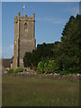
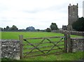
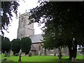
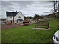
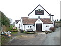
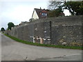
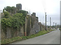
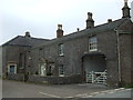
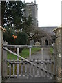
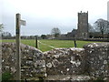
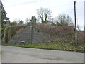
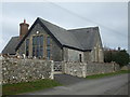
56 photos from this area
Area Information
Key information about the BA3 4UG including its size, population, and administrative classification.
- Area Type
- Postcode
- Area Size
- 34.3 hectares
- Population
- 2425
- Population Density
- 78 people/km²
House Prices in BA3 4UG
17
Properties
£652,273
Average Sold Price
£103,000
Lowest Price
£2,000,000
Highest Price
Showing 17 properties
| Address | Type | Beds | Baths | Last Sale Price | Last Sale Date | |
|---|---|---|---|---|---|---|
| The Old Coach House, Bennetts Lane, Binegar, Wells, BA3 4UG | house | - | - | £1,000,000 | Oct 2023 | |
| Lea Farm, Bennetts Lane, Binegar, Wells, BA3 4UG | Detached | 5 | 5 | £2,000,000 | Nov 2022 | |
| Fairfield Cottage, Station Road, Binegar, Wells, BA3 4UG | Retail | 1 | - | £251,000 | Apr 2022 | |
| Mendip View, Bennetts Lane, Binegar, Wells, BA3 4UG | house | - | - | £840,000 | Oct 2021 | |
| Mansefield, Station Road, Binegar, Wells, BA3 4UG | Detached | 5 | 4 | £795,000 | Jun 2021 | |
| Southview Farm, Station Road, Binegar, Wells, BA3 4UG | Bungalow | - | - | £340,000 | Jan 2018 | |
| Glebe Farm, Station Road, Binegar, Wells, BA3 4UG | house | 4 | - | £555,000 | Feb 2012 | |
| The Old School House, Tellis Lane, Binegar, Wells, BA3 4UG | Detached | 3 | 3 | £475,000 | Jun 2010 | |
| Englewood, Station Road, Binegar, Wells, BA3 4UG | Bungalow | 1 | - | £640,000 | Dec 2007 | |
| Stony Lea, Station Road, Binegar, Wells, BA3 4UG | Semi-detached | - | - | £103,000 | Jun 1999 |
Page 1 of 2
Energy Efficiency in BA3 4UG
Amenities
Schools
| Rank | School | Type | Entry gender | Ages |
|---|
Explore more schools in this area
Go to Schools tabDemographics
Household Size
Two person
most common
Accommodation Type
Houses
most common
Tenure
79
majority
Ethnic Group
White
most common
Religion
N/A
most common
Household Composition
N/A
most common
Age
47
median
Adults (30-64 years)
most common
Household Deprivation
N/A
with no deprivation
NS-SEC
38
in Lower managerial occupations
Explore more demographic insights in this area
Go to Demographics tabPlanning
Planning Constraints
- Flood RiskPremium
- Ramsar Wetland SitesPremium
- Area of Outstanding Natural BeautyPremium
- Protected Nature ReservePremium
- Protected WoodlandPremium