Area Overview for BA3 3RH
Photos of BA3 3RH
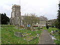
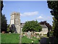
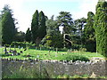
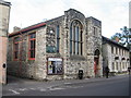
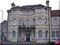
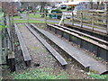
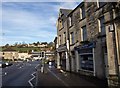
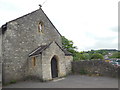
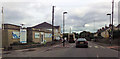
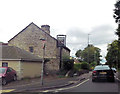
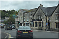
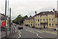
69 photos from this area
Area Information
Key information about the BA3 3RH including its size, population, and administrative classification.
- Area Type
- Postcode
- Area Size
- 1.5 hectares
- Population
- Not available
- Population Density
- Not available
House Prices in BA3 3RH
19
Properties
£161,775
Average Sold Price
£30,000
Lowest Price
£390,000
Highest Price
Showing 19 properties
| Address | Type | Beds | Baths | Last Sale Price | Last Sale Date | |
|---|---|---|---|---|---|---|
| The Folly, 22 Wells Road, Westfield, BA3 3RH | Semi-detached | 4 | 2 | £390,000 | Jun 2021 | |
| 2, The Shambles, Wells Road, Westfield, BA3 3RH | Terraced | 2 | 1 | £270,000 | Dec 2013 | |
| 11 Wells Road, Westfield, BA3 3RH | house | 2 | 1 | £30,000 | Dec 2013 | |
| 16 Wells Road, Westfield, BA3 3RH | house | - | - | £220,000 | Nov 2012 | |
| 14 Wells Road, Westfield, BA3 3RH | Semi-detached | 2 | 1 | £80,000 | Sep 1999 | |
| 20 Wells Road, Westfield, BA3 3RH | Detached | - | - | £101,000 | Aug 1999 | |
| 12 Wells Road, Westfield, BA3 3RH | house | 4 | - | £99,000 | Jun 1999 | |
| 18 Wells Road, Westfield, BA3 3RH | Detached | - | - | £104,200 | Sep 1998 | |
| 8, The Shambles, Wells Road, Westfield, BA3 3RH | Flat | 1 | - | - | - | |
| 3, The Shambles, Wells Road, Westfield, BA3 3RH | Flat | - | - | - | - |
Page 1 of 2
Energy Efficiency in BA3 3RH
Amenities
Schools
| Rank | School | Type | Entry gender | Ages |
|---|
Explore more schools in this area
Go to Schools tabDemographics
Household Size
Family (3-5 people)
most common
Accommodation Type
Houses
most common
Tenure
71
majority
Ethnic Group
White
most common
Religion
N/A
most common
Household Composition
N/A
most common
Age
47
median
Adults (30-64 years)
most common
Household Deprivation
N/A
with no deprivation
NS-SEC
25
in Lower managerial occupations
Explore more demographic insights in this area
Go to Demographics tabPlanning
Planning Constraints
- Flood RiskPremium
- Ramsar Wetland SitesPremium
- Area of Outstanding Natural BeautyPremium
- Protected Nature ReservePremium
- Protected WoodlandPremium