Area Overview for BA22 9BE
Photos of BA22 9BE
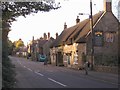
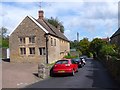
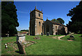
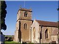
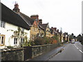
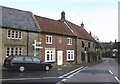
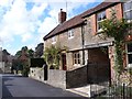
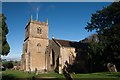
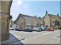
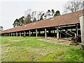
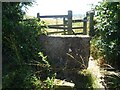

63 photos from this area
Area Information
Key information about the BA22 9BE including its size, population, and administrative classification.
- Area Type
- Postcode
- Area Size
- 8694 m²
- Population
- 1300
- Population Density
- 191 people/km²
House Prices in BA22 9BE
28
Properties
£314,250
Average Sold Price
£45,000
Lowest Price
£1,400,000
Highest Price
Showing 28 properties
| Address | Type | Beds | Baths | Last Sale Price | Last Sale Date | |
|---|---|---|---|---|---|---|
| 18 East Street, West Coker, Yeovil, BA22 9BE | Terraced | 2 | 1 | £218,000 | Oct 2025 | |
| 12A East Street, West Coker, Yeovil, BA22 9BE | Terraced | 2 | 1 | £215,000 | Nov 2023 | |
| 26 East Street, West Coker, Yeovil, BA22 9BE | house | 6 | - | £1,400,000 | Jul 2022 | |
| 3A East Street, West Coker, Yeovil, BA22 9BE | Flat | 1 | 1 | £97,500 | May 2022 | |
| 21 East Street, West Coker, Yeovil, BA22 9BE | Semi-detached | 3 | 1 | £340,000 | Oct 2020 | |
| 15 East Street, West Coker, Yeovil, BA22 9BE | Detached | 2 | 1 | £162,000 | Jul 2010 | |
| 24 East Street, West Coker, Yeovil, BA22 9BE | Terraced | - | - | £320,000 | Jul 2007 | |
| 28 East Street, West Coker, Yeovil, BA22 9BE | Semi-detached | - | - | £170,000 | Jan 2004 | |
| 1 East Street, West Coker, Yeovil, BA22 9BE | Terraced | - | - | £175,000 | Feb 2001 | |
| 20 East Street, West Coker, Yeovil, BA22 9BE | Terraced | 2 | - | £45,000 | Jan 1999 |
Page 1 of 3
Energy Efficiency in BA22 9BE
Amenities
Schools
| Rank | School | Type | Entry gender | Ages |
|---|
Explore more schools in this area
Go to Schools tabDemographics
Household Size
Two person
most common
Accommodation Type
Houses
most common
Tenure
77
majority
Ethnic Group
White
most common
Religion
N/A
most common
Household Composition
N/A
most common
Age
47
median
Adults (30-64 years)
most common
Household Deprivation
N/A
with no deprivation
NS-SEC
39
in Lower managerial occupations
Explore more demographic insights in this area
Go to Demographics tabPlanning
Planning Constraints
- Flood RiskPremium
- Ramsar Wetland SitesPremium
- Area of Outstanding Natural BeautyPremium
- Protected Nature ReservePremium
- Protected WoodlandPremium