Area Overview for BA21 4JU
Photos of BA21 4JU
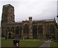
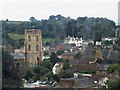
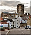
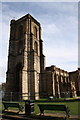
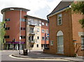
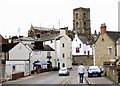
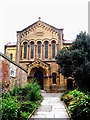
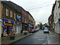
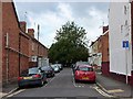
100 photos from this area
Area Information
Key information about the BA21 4JU including its size, population, and administrative classification.
- Area Type
- Postcode
- Area Size
- 2.1 hectares
- Population
- 1483
- Population Density
- 4124 people/km²
House Prices in BA21 4JU
50
Properties
£190,255
Average Sold Price
£59,990
Lowest Price
£310,000
Highest Price
Showing 50 properties
| Address | Type | Beds | Baths | Last Sale Price | Last Sale Date | |
|---|---|---|---|---|---|---|
| 14 College Green, Yeovil, BA21 4JU | Terraced | 3 | 1 | £250,000 | Aug 2024 | |
| 42 College Green, Yeovil, BA21 4JU | Semi-detached | 3 | 2 | £240,000 | Jan 2023 | |
| 66 College Green, Yeovil, BA21 4JU | Flat | 2 | 1 | £123,000 | Nov 2021 | |
| 88 College Green, Yeovil, BA21 4JU | house | 4 | - | £310,000 | Feb 2018 | |
| 64 College Green, Yeovil, BA21 4JU | Flat | 2 | 1 | £107,000 | Mar 2014 | |
| 10 College Green, Yeovil, BA21 4JU | house | - | - | £145,000 | Feb 2013 | |
| 90 College Green, Yeovil, BA21 4JU | house | 4 | - | £255,000 | Jun 2011 | |
| 12 College Green, Yeovil, BA21 4JU | house | 2 | - | £145,000 | Nov 2009 | |
| 96 College Green, Yeovil, BA21 4JU | Detached | 4 | 1 | £270,000 | May 2009 | |
| 54 College Green, Yeovil, BA21 4JU | Terraced | 3 | 2 | £171,250 | Jan 2009 |
Page 1 of 5
Energy Efficiency in BA21 4JU
Amenities
Schools
| Rank | School | Type | Entry gender | Ages |
|---|
Explore more schools in this area
Go to Schools tabDemographics
Household Size
One person
most common
Accommodation Type
Houses
most common
Tenure
65
majority
Ethnic Group
White
most common
Religion
N/A
most common
Household Composition
N/A
most common
Age
47
median
Adults (30-64 years)
most common
Household Deprivation
N/A
with no deprivation
NS-SEC
35
in Lower managerial occupations
Explore more demographic insights in this area
Go to Demographics tabPlanning
Planning Constraints
- Flood RiskPremium
- Ramsar Wetland SitesPremium
- Area of Outstanding Natural BeautyPremium
- Protected Nature ReservePremium
- Protected WoodlandPremium