Area Overview for BA21 3ED
Photos of BA21 3ED
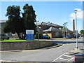
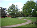
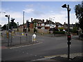
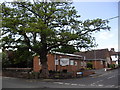
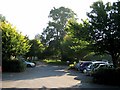
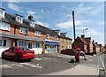
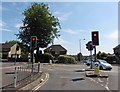
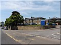
27 photos from this area
Area Information
Key information about the BA21 3ED including its size, population, and administrative classification.
- Area Type
- Postcode
- Area Size
- 4.2 hectares
- Population
- 1318
- Population Density
- 1982 people/km²
House Prices in BA21 3ED
60
Properties
£179,951
Average Sold Price
£32,500
Lowest Price
£475,000
Highest Price
Showing 60 properties
| Address | Type | Beds | Baths | Last Sale Price | Last Sale Date | |
|---|---|---|---|---|---|---|
| 50 Southway Drive, Yeovil, BA21 3ED | Semi-detached | 3 | 2 | £265,000 | Oct 2024 | |
| 54 Southway Drive, Yeovil, BA21 3ED | Detached | 5 | 2 | £475,000 | Oct 2024 | |
| 62 Southway Drive, Yeovil, BA21 3ED | Detached | 5 | 2 | £475,000 | Jun 2024 | |
| 44 Southway Drive, Yeovil, BA21 3ED | Semi-detached | 3 | 1 | £250,000 | Jul 2023 | |
| 14 Southway Drive, Yeovil, BA21 3ED | Flat | 2 | 1 | £110,000 | Feb 2023 | |
| 16 Southway Drive, Yeovil, BA21 3ED | Flat | - | - | £115,000 | Oct 2022 | |
| 23 Southway Drive, Yeovil, BA21 3ED | Bungalow | 3 | 1 | £179,000 | Mar 2022 | |
| 20 Southway Drive, Yeovil, BA21 3ED | Flat | 1 | 1 | £96,000 | Jan 2022 | |
| 2 Southway Drive, Yeovil, BA21 3ED | Semi-detached | 2 | 1 | £182,500 | Jan 2020 | |
| 33 Southway Drive, Yeovil, BA21 3ED | Detached | 4 | 1 | £335,000 | Nov 2019 |
Page 1 of 6
Energy Efficiency in BA21 3ED
Amenities
Schools
| Rank | School | Type | Entry gender | Ages |
|---|
Explore more schools in this area
Go to Schools tabDemographics
Household Size
Two person
most common
Accommodation Type
Houses
most common
Tenure
86
majority
Ethnic Group
White
most common
Religion
N/A
most common
Household Composition
N/A
most common
Age
47
median
Adults (30-64 years)
most common
Household Deprivation
N/A
with no deprivation
NS-SEC
37
in Lower managerial occupations
Explore more demographic insights in this area
Go to Demographics tabPlanning
Planning Constraints
- Flood RiskPremium
- Ramsar Wetland SitesPremium
- Area of Outstanding Natural BeautyPremium
- Protected Nature ReservePremium
- Protected WoodlandPremium