Area Overview for BA2 7LW
Photos of BA2 7LW
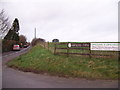
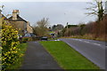
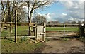
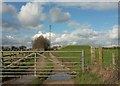
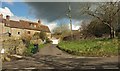
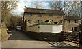
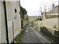
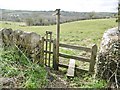
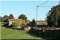
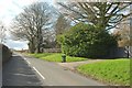
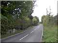
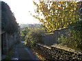
18 photos from this area
Area Information
Key information about the BA2 7LW including its size, population, and administrative classification.
- Area Type
- Postcode
- Area Size
- 4.6 hectares
- Population
- 2215
- Population Density
- 49 people/km²
House Prices in BA2 7LW
14
Properties
£560,212
Average Sold Price
£50,000
Lowest Price
£2,000,000
Highest Price
Showing 14 properties
| Address | Type | Beds | Baths | Last Sale Price | Last Sale Date | |
|---|---|---|---|---|---|---|
| Norton House, Bath Road, Norton St Philip, Frome, BA2 7LW | Detached | 7 | 2 | £2,000,000 | Apr 2023 | |
| Rebellion Corner, Bath Road, Norton St Philip, Frome, BA2 7LW | Detached | 4 | 3 | £731,250 | Nov 2022 | |
| 7 Bath Road, Norton St Philip, Frome, BA2 7LW | house | 4 | - | £457,500 | Nov 2022 | |
| The Old Coach House, Bath Road, Norton St Philip, Frome, BA2 7LW | Bungalow | 2 | 1 | £650,000 | Mar 2022 | |
| 15 Bath Road, Norton St Philip, Frome, BA2 7LW | house | - | - | £260,000 | Aug 2021 | |
| 11 Bath Road, Norton St Philip, Frome, BA2 7LW | Terraced | 3 | 2 | £345,000 | Oct 2020 | |
| Hillside, Bath Road, Norton St Philip, Frome, BA2 7LW | Detached | - | - | £710,000 | Oct 2020 | |
| The Oaks, Bath Road, Norton St Philip, Frome, BA2 7LW | house | - | - | £900,000 | Dec 2019 | |
| 17 Bath Road, Norton St Philip, Frome, BA2 7LW | house | 3 | - | £242,500 | Apr 2014 | |
| Gaugers, Bath Road, Norton St Philip, Frome, BA2 7LW | house | - | - | £337,500 | Jan 2010 |
Page 1 of 2
Energy Efficiency in BA2 7LW
Amenities
Schools
| Rank | School | Type | Entry gender | Ages |
|---|
Explore more schools in this area
Go to Schools tabDemographics
Household Size
Two person
most common
Accommodation Type
Houses
most common
Tenure
78
majority
Ethnic Group
White
most common
Religion
N/A
most common
Household Composition
N/A
most common
Age
47
median
Adults (30-64 years)
most common
Household Deprivation
N/A
with no deprivation
NS-SEC
47
in Lower managerial occupations
Explore more demographic insights in this area
Go to Demographics tabPlanning
Planning Constraints
- Flood RiskPremium
- Ramsar Wetland SitesPremium
- Area of Outstanding Natural BeautyPremium
- Protected Nature ReservePremium
- Protected WoodlandPremium