Area Overview for BA2 2DY
Photos of BA2 2DY
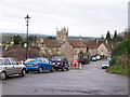
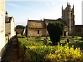
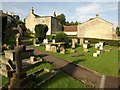
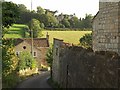
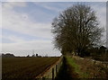
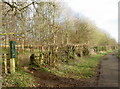
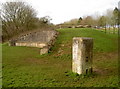
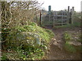
98 photos from this area
Area Information
Key information about the BA2 2DY including its size, population, and administrative classification.
- Area Type
- Postcode
- Area Size
- 7.9 hectares
- Population
- 1882
- Population Density
- 121 people/km²
House Prices in BA2 2DY
27
Properties
£186,372
Average Sold Price
£68,500
Lowest Price
£394,999
Highest Price
Showing 27 properties
| Address | Type | Beds | Baths | Last Sale Price | Last Sale Date | |
|---|---|---|---|---|---|---|
| 3 Spruce Way, Odd Down, Bath, BA2 2DY | Terraced | 2 | 1 | £290,000 | Mar 2024 | |
| 23 Spruce Way, Odd Down, Bath, BA2 2DY | Terraced | 3 | 1 | £315,000 | Sep 2023 | |
| 4 Spruce Way, Odd Down, Bath, BA2 2DY | house | - | - | £342,000 | Jun 2021 | |
| 27 Spruce Way, Odd Down, Bath, BA2 2DY | Terraced | 3 | 1 | £325,000 | Sep 2020 | |
| 15 Spruce Way, Odd Down, Bath, BA2 2DY | house | - | - | £250,000 | Feb 2020 | |
| 1 Spruce Way, Odd Down, Bath, BA2 2DY | Terraced | 3 | 2 | £237,000 | Jun 2018 | |
| 29 Spruce Way, Odd Down, Bath, BA2 2DY | Semi-detached | 3 | 1 | £394,999 | Mar 2018 | |
| 8 Spruce Way, Odd Down, Bath, BA2 2DY | house | 2 | - | £225,000 | Dec 2016 | |
| 18 Spruce Way, Odd Down, Bath, BA2 2DY | Terraced | 3 | 1 | £285,000 | Dec 2015 | |
| 20 Spruce Way, Odd Down, Bath, BA2 2DY | Terraced | 2 | 1 | £217,000 | Apr 2015 |
Page 1 of 3
Energy Efficiency in BA2 2DY
Amenities
Schools
| Rank | School | Type | Entry gender | Ages |
|---|
Explore more schools in this area
Go to Schools tabDemographics
Household Size
Two person
most common
Accommodation Type
Houses
most common
Tenure
80
majority
Ethnic Group
White
most common
Religion
N/A
most common
Household Composition
N/A
most common
Age
47
median
Adults (30-64 years)
most common
Household Deprivation
N/A
with no deprivation
NS-SEC
49
in Lower managerial occupations
Explore more demographic insights in this area
Go to Demographics tabPlanning
Planning Constraints
- Flood RiskPremium
- Ramsar Wetland SitesPremium
- Area of Outstanding Natural BeautyPremium
- Protected Nature ReservePremium
- Protected WoodlandPremium