Area Overview for BA2 0PS
Photos of BA2 0PS
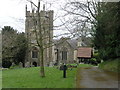
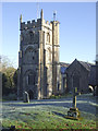
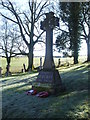
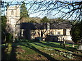
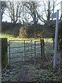
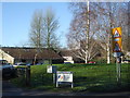
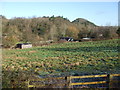
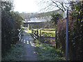
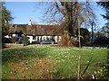
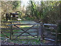
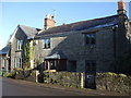
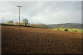
53 photos from this area
Area Information
Key information about the BA2 0PS including its size, population, and administrative classification.
- Area Type
- Postcode
- Area Size
- 21.7 hectares
- Population
- 2326
- Population Density
- 118 people/km²
House Prices in BA2 0PS
18
Properties
£397,408
Average Sold Price
£120,000
Lowest Price
£694,500
Highest Price
Showing 18 properties
| Address | Type | Beds | Baths | Last Sale Price | Last Sale Date | |
|---|---|---|---|---|---|---|
| Homelands, 9 Camerton Hill, Camerton, Bath, BA2 0PS | Bungalow | 3 | 1 | £610,000 | May 2023 | |
| Bridge Place Farm, Camerton Hill, Camerton, Bath, BA2 0PS | Detached | 4 | 3 | £694,500 | Jan 2017 | |
| Yew Tree House, Camerton Hill, Camerton, Bath, BA2 0PS | Detached | 4 | - | £550,000 | Nov 2014 | |
| Rosslea, Camerton Hill, Camerton, Bath, BA2 0PS | Detached | - | - | £249,950 | Aug 2005 | |
| Crosspath Cottage, Camerton Hill, Camerton, Bath, BA2 0PS | Detached | 4 | - | £160,000 | Dec 1998 | |
| Thatch Cottage, 3 Camerton Hill, Camerton, Bath, BA2 0PS | house | - | - | £120,000 | Oct 1998 | |
| Rose Cottage, 7 Camerton Hill, Camerton, Bath, BA2 0PS | house | 2 | - | - | - | |
| Abbey Farmhouse, Camerton Hill, Camerton, Bath, BA2 0PS | Semi-detached | 7 | - | - | - | |
| The Cider House, Camerton Hill, Camerton, Bath, BA2 0PS | Bungalow | 2 | - | - | - | |
| The Old Dairy, Camerton Hill, Camerton, Bath, BA2 0PS | Semi-detached | - | - | - | - |
Page 1 of 2
Energy Efficiency in BA2 0PS
Amenities
Schools
| Rank | School | Type | Entry gender | Ages |
|---|
Explore more schools in this area
Go to Schools tabDemographics
Household Size
Two person
most common
Accommodation Type
Houses
most common
Tenure
67
majority
Ethnic Group
White
most common
Religion
N/A
most common
Household Composition
N/A
most common
Age
22
median
Young Adults (15-29 years)
most common
Household Deprivation
N/A
with no deprivation
NS-SEC
17
in Lower managerial occupations
Explore more demographic insights in this area
Go to Demographics tabPlanning
Planning Constraints
- Flood RiskPremium
- Ramsar Wetland SitesPremium
- Area of Outstanding Natural BeautyPremium
- Protected Nature ReservePremium
- Protected WoodlandPremium