Area Overview for BA2 0HR
Photos of BA2 0HR
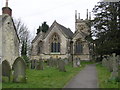
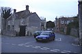
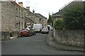
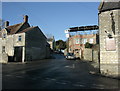
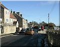
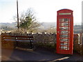
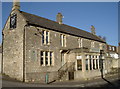
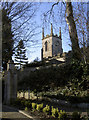
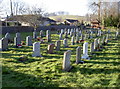
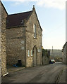
56 photos from this area
Area Information
Key information about the BA2 0HR including its size, population, and administrative classification.
- Area Type
- Postcode
- Area Size
- 16.1 hectares
- Population
- 1506
- Population Density
- 923 people/km²
House Prices in BA2 0HR
54
Properties
£192,347
Average Sold Price
£47,000
Lowest Price
£340,000
Highest Price
Showing 54 properties
| Address | Type | Beds | Baths | Last Sale Price | Last Sale Date | |
|---|---|---|---|---|---|---|
| 58 St Johns Road, Timsbury, Bath, BA2 0HR | Semi-detached | 3 | 1 | £340,000 | Mar 2025 | |
| 23 St Johns Road, Timsbury, Bath, BA2 0HR | Bungalow | 3 | 2 | £330,000 | Feb 2025 | |
| 11 St Johns Road, Timsbury, Bath, BA2 0HR | Terraced | 3 | - | £240,000 | Nov 2024 | |
| 3 St Johns Road, Timsbury, Bath, BA2 0HR | Terraced | 3 | - | £245,000 | May 2024 | |
| 32 St Johns Road, Timsbury, Bath, BA2 0HR | Detached | 3 | 1 | £275,000 | Sep 2023 | |
| 38 St Johns Road, Timsbury, Bath, BA2 0HR | Terraced | 2 | - | £238,000 | Sep 2021 | |
| 46 St Johns Road, Timsbury, Bath, BA2 0HR | house | - | - | £260,500 | Sep 2021 | |
| 42 St Johns Road, Timsbury, Bath, BA2 0HR | Semi-detached | 3 | - | £272,500 | Feb 2021 | |
| 9 St Johns Road, Timsbury, Bath, BA2 0HR | Terraced | 3 | - | £200,000 | Apr 2020 | |
| 68 St Johns Road, Timsbury, Bath, BA2 0HR | Semi-detached | 3 | 1 | £230,000 | Nov 2018 |
Page 1 of 6
Energy Efficiency in BA2 0HR
Amenities
Schools
| Rank | School | Type | Entry gender | Ages |
|---|
Explore more schools in this area
Go to Schools tabDemographics
Household Size
Two person
most common
Accommodation Type
Houses
most common
Tenure
61
majority
Ethnic Group
White
most common
Religion
N/A
most common
Household Composition
N/A
most common
Age
47
median
Adults (30-64 years)
most common
Household Deprivation
N/A
with no deprivation
NS-SEC
31
in Lower managerial occupations
Explore more demographic insights in this area
Go to Demographics tabPlanning
Planning Constraints
- Flood RiskPremium
- Ramsar Wetland SitesPremium
- Area of Outstanding Natural BeautyPremium
- Protected Nature ReservePremium
- Protected WoodlandPremium