Area Overview for BA16 0PG
Photos of BA16 0PG
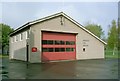
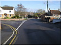
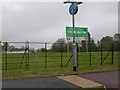
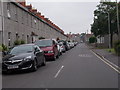
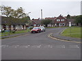
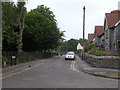
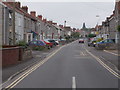
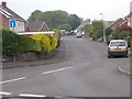
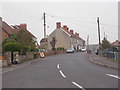
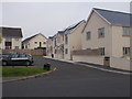
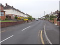
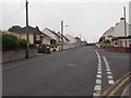
36 photos from this area
Area Information
Key information about the BA16 0PG including its size, population, and administrative classification.
- Area Type
- Postcode
- Area Size
- 8894 m²
- Population
- 2291
- Population Density
- 3926 people/km²
House Prices in BA16 0PG
23
Properties
£223,864
Average Sold Price
£77,000
Lowest Price
£347,500
Highest Price
Showing 23 properties
| Address | Type | Beds | Baths | Last Sale Price | Last Sale Date | |
|---|---|---|---|---|---|---|
| 36 Stonehill, Street, BA16 0PG | house | 3 | 1 | £300,000 | Aug 2021 | |
| 52 Stonehill, Street, BA16 0PG | house | - | - | £324,000 | Dec 2020 | |
| 54 Stonehill, Street, BA16 0PG | Semi-detached | 3 | 1 | £260,000 | Dec 2019 | |
| 49 Stonehill, Street, BA16 0PG | Semi-detached | 3 | 2 | £209,000 | Oct 2019 | |
| 44 Stonehill, Street, BA16 0PG | Semi-detached | 4 | - | £347,500 | Aug 2018 | |
| 56 Stonehill, Street, BA16 0PG | Detached | 3 | - | £297,500 | Nov 2017 | |
| 38 Stonehill, Street, BA16 0PG | Semi-detached | 3 | 1 | £206,000 | Feb 2017 | |
| 53 Stonehill, Street, BA16 0PG | Semi-detached | 3 | 2 | £255,000 | Jun 2006 | |
| 46 Stonehill, Street, BA16 0PG | Detached | - | - | £108,000 | Oct 1999 | |
| 40 Stonehill, Street, BA16 0PG | Terraced | 2 | - | £78,500 | Mar 1999 |
Page 1 of 3
Energy Efficiency in BA16 0PG
Amenities
Schools
| Rank | School | Type | Entry gender | Ages |
|---|
Explore more schools in this area
Go to Schools tabDemographics
Household Size
Two person
most common
Accommodation Type
Houses
most common
Tenure
82
majority
Ethnic Group
White
most common
Religion
N/A
most common
Household Composition
N/A
most common
Age
47
median
Adults (30-64 years)
most common
Household Deprivation
N/A
with no deprivation
NS-SEC
31
in Lower managerial occupations
Explore more demographic insights in this area
Go to Demographics tabPlanning
Planning Constraints
- Flood RiskPremium
- Ramsar Wetland SitesPremium
- Area of Outstanding Natural BeautyPremium
- Protected Nature ReservePremium
- Protected WoodlandPremium