Area Overview for BA16 0LQ
Photos of BA16 0LQ
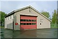
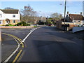
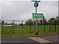
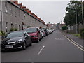
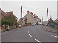
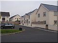
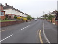
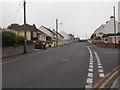
36 photos from this area
Area Information
Key information about the BA16 0LQ including its size, population, and administrative classification.
- Area Type
- Postcode
- Area Size
- 1.0 hectares
- Population
- Not available
- Population Density
- Not available
House Prices in BA16 0LQ
38
Properties
£227,750
Average Sold Price
£150,000
Lowest Price
£368,000
Highest Price
Showing 38 properties
| Address | Type | Beds | Baths | Last Sale Price | Last Sale Date | |
|---|---|---|---|---|---|---|
| 39 West End, Street, BA16 0LQ | Terraced | 2 | 1 | £178,000 | Jan 2025 | |
| 71 West End, Street, BA16 0LQ | Detached | 3 | 1 | £368,000 | Mar 2024 | |
| 81B West End, Street, BA16 0LQ | Semi-detached | 3 | 1 | £215,000 | Dec 2014 | |
| 75 West End, Street, BA16 0LQ | house | - | - | £150,000 | Dec 2003 | |
| 41 West End, Street, BA16 0LQ | Terraced | 2 | 1 | - | - | |
| 53 West End, Street, BA16 0LQ | Cottage | 3 | 1 | - | - | |
| 27 West End, Street, BA16 0LQ | Terraced | 3 | 1 | - | - | |
| 23 West End, Street, BA16 0LQ | Terraced | 3 | - | - | - | |
| 77 West End, Street, BA16 0LQ | Terraced | 2 | - | - | - | |
| 81A West End, Street, BA16 0LQ | Detached | 3 | - | - | - |
Page 1 of 4
Energy Efficiency in BA16 0LQ
Amenities
Schools
| Rank | School | Type | Entry gender | Ages |
|---|
Explore more schools in this area
Go to Schools tabDemographics
Household Size
One person
most common
Accommodation Type
Houses
most common
Tenure
62
majority
Ethnic Group
White
most common
Religion
N/A
most common
Household Composition
N/A
most common
Age
47
median
Adults (30-64 years)
most common
Household Deprivation
N/A
with no deprivation
NS-SEC
32
in Lower managerial occupations
Explore more demographic insights in this area
Go to Demographics tabPlanning
Planning Constraints
- Flood RiskPremium
- Ramsar Wetland SitesPremium
- Area of Outstanding Natural BeautyPremium
- Protected Nature ReservePremium
- Protected WoodlandPremium