Area Overview for BA16 0GE
Photos of BA16 0GE
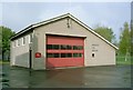
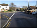
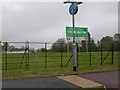
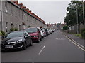
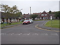
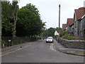
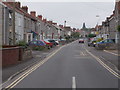
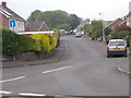
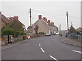
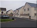
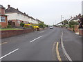
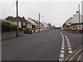
36 photos from this area
Area Information
Key information about the BA16 0GE including its size, population, and administrative classification.
- Area Type
- Postcode
- Area Size
- 1.2 hectares
- Population
- Not available
- Population Density
- Not available
House Prices in BA16 0GE
15
Properties
£231,332
Average Sold Price
£150,000
Lowest Price
£350,000
Highest Price
Showing 15 properties
| Address | Type | Beds | Baths | Last Sale Price | Last Sale Date | |
|---|---|---|---|---|---|---|
| 3 Caribee Quarter, Street, BA16 0GE | Terraced | 3 | 2 | £310,000 | Mar 2024 | |
| 7 Caribee Quarter, Street, BA16 0GE | house | - | - | £350,000 | Sep 2021 | |
| 8 Caribee Quarter, Street, BA16 0GE | Terraced | 5 | 3 | £300,000 | Apr 2020 | |
| 6 Caribee Quarter, Street, BA16 0GE | house | 4 | 2 | £254,995 | Aug 2018 | |
| 5 Caribee Quarter, Street, BA16 0GE | house | - | - | £250,000 | Jun 2018 | |
| 9 Caribee Quarter, Street, BA16 0GE | Terraced | 3 | 2 | £205,000 | Sep 2016 | |
| 10 Caribee Quarter, Street, BA16 0GE | house | - | - | £215,000 | Aug 2015 | |
| 14 Caribee Quarter, Street, BA16 0GE | Terraced | 4 | 2 | £200,000 | Feb 2012 | |
| 15 Caribee Quarter, Street, BA16 0GE | Terraced | 4 | 2 | £200,000 | Feb 2012 | |
| 11 Caribee Quarter, Street, BA16 0GE | house | - | - | £199,995 | Nov 2011 |
Page 1 of 2
Energy Efficiency in BA16 0GE
Amenities
Schools
| Rank | School | Type | Entry gender | Ages |
|---|
Explore more schools in this area
Go to Schools tabDemographics
Household Size
One person
most common
Accommodation Type
Houses
most common
Tenure
62
majority
Ethnic Group
White
most common
Religion
N/A
most common
Household Composition
N/A
most common
Age
47
median
Adults (30-64 years)
most common
Household Deprivation
N/A
with no deprivation
NS-SEC
32
in Lower managerial occupations
Explore more demographic insights in this area
Go to Demographics tabPlanning
Planning Constraints
- Flood RiskPremium
- Ramsar Wetland SitesPremium
- Area of Outstanding Natural BeautyPremium
- Protected Nature ReservePremium
- Protected WoodlandPremium