Area Overview for BA15 2SB
Photos of BA15 2SB
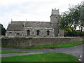
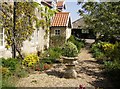
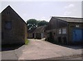
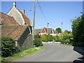

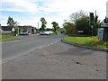
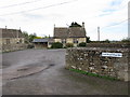
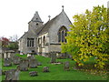
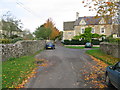
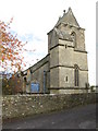
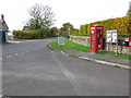
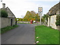
53 photos from this area
Area Information
Key information about the BA15 2SB including its size, population, and administrative classification.
- Area Type
- Postcode
- Area Size
- 7.6 hectares
- Population
- 1861
- Population Density
- 78 people/km²
House Prices in BA15 2SB
15
Properties
£336,000
Average Sold Price
£180,000
Lowest Price
£540,000
Highest Price
Showing 15 properties
| Address | Type | Beds | Baths | Last Sale Price | Last Sale Date | |
|---|---|---|---|---|---|---|
| 2 Church Fields, South Wraxall, BA15 2SB | Retail | 3 | 1 | £540,000 | Jun 2022 | |
| 1 Church Fields, South Wraxall, BA15 2SB | Semi-detached | 3 | - | £345,000 | Jan 2015 | |
| 8 Church Fields, South Wraxall, BA15 2SB | Terraced | 3 | - | £279,000 | Dec 2012 | |
| 4 Church Fields, South Wraxall, BA15 2SB | house | - | - | £180,000 | Jul 2005 | |
| The Old Vicarage, Upper South Wraxall, Upper South Wraxall, BA15 2SB | Land | - | - | - | - | |
| Sewage Works, Upper South Wraxall, Upper South Wraxall, BA15 2SB | Industrial | - | - | - | - | |
| Staff Accommodation, The Longs Arms, Upper South Wraxall, Upper South Wraxall, BA15 2SB | Flat | - | - | - | - | |
| Tennis 88M From The Old Vicarage 89M From Unnamed Road, Upper South Wraxall, Upper South Wraxall, BA15 2SB | Leisure | - | - | - | - | |
| 3 Church Fields, South Wraxall, BA15 2SB | house | - | - | - | - | |
| 5 Church Fields, South Wraxall, BA15 2SB | house | - | - | - | - |
Page 1 of 2
Energy Efficiency in BA15 2SB
Amenities
Schools
| Rank | School | Type | Entry gender | Ages |
|---|
Explore more schools in this area
Go to Schools tabDemographics
Household Size
Two person
most common
Accommodation Type
Houses
most common
Tenure
81
majority
Ethnic Group
White
most common
Religion
N/A
most common
Household Composition
N/A
most common
Age
47
median
Adults (30-64 years)
most common
Household Deprivation
N/A
with no deprivation
NS-SEC
51
in Lower managerial occupations
Explore more demographic insights in this area
Go to Demographics tabPlanning
Planning Constraints
- Flood RiskPremium
- Ramsar Wetland SitesPremium
- Area of Outstanding Natural BeautyPremium
- Protected Nature ReservePremium
- Protected WoodlandPremium