Area Overview for BA14 9QY
Photos of BA14 9QY
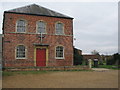
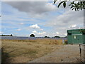
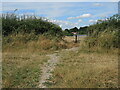
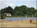
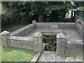
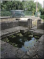
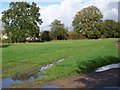
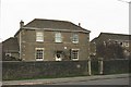
18 photos from this area
Area Information
Key information about the BA14 9QY including its size, population, and administrative classification.
- Area Type
- Postcode
- Area Size
- 2986 m²
- Population
- 2456
- Population Density
- 142 people/km²
House Prices in BA14 9QY
8
Properties
£184,738
Average Sold Price
£72,450
Lowest Price
£310,000
Highest Price
Showing 8 properties
| Address | Type | Beds | Baths | Last Sale Price | Last Sale Date | |
|---|---|---|---|---|---|---|
| 3 St Annes Close, Southwick, BA14 9QY | Bungalow | 2 | 1 | £260,000 | Dec 2024 | |
| 8 St Annes Close, Southwick, BA14 9QY | Bungalow | 3 | 1 | £310,000 | Jun 2023 | |
| 2 St Annes Close, Southwick, BA14 9QY | Bungalow | 2 | 1 | £202,500 | Sep 2018 | |
| 4 St Annes Close, Southwick, BA14 9QY | Bungalow | - | - | £207,000 | Jun 2018 | |
| 6 St Annes Close, Southwick, BA14 9QY | Bungalow | 3 | 1 | £190,000 | Dec 2013 | |
| 7 St Annes Close, Southwick, BA14 9QY | Bungalow | - | - | £145,000 | Jul 2003 | |
| 1 St Annes Close, Southwick, BA14 9QY | Semi-detached | - | - | £90,950 | Mar 2000 | |
| 5 St Annes Close, Southwick, BA14 9QY | Detached | - | - | £72,450 | Jun 1996 |
Energy Efficiency in BA14 9QY
Amenities
Schools
| Rank | School | Type | Entry gender | Ages |
|---|
Explore more schools in this area
Go to Schools tabDemographics
Household Size
Two person
most common
Accommodation Type
Houses
most common
Tenure
80
majority
Ethnic Group
White
most common
Religion
N/A
most common
Household Composition
N/A
most common
Age
47
median
Adults (30-64 years)
most common
Household Deprivation
N/A
with no deprivation
NS-SEC
34
in Lower managerial occupations
Explore more demographic insights in this area
Go to Demographics tabPlanning
Planning Constraints
- Flood RiskPremium
- Ramsar Wetland SitesPremium
- Area of Outstanding Natural BeautyPremium
- Protected Nature ReservePremium
- Protected WoodlandPremium