Area Overview for BA14 9EF
Photos of BA14 9EF
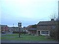
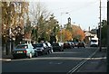
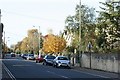
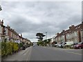
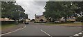
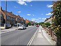
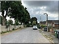
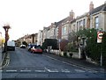
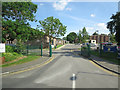
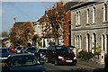
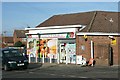
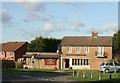
12 photos from this area
Area Information
Key information about the BA14 9EF including its size, population, and administrative classification.
- Area Type
- Postcode
- Area Size
- 2407 m²
- Population
- Not available
- Population Density
- Not available
House Prices in BA14 9EF
13
Properties
£178,540
Average Sold Price
£57,000
Lowest Price
£393,000
Highest Price
Showing 13 properties
| Address | Type | Beds | Baths | Last Sale Price | Last Sale Date | |
|---|---|---|---|---|---|---|
| 33 Wingfield Road, Trowbridge, BA14 9EF | Terraced | 4 | 2 | £393,000 | Dec 2025 | |
| 57 Wingfield Road, Trowbridge, BA14 9EF | Terraced | 2 | 1 | £241,000 | Jan 2023 | |
| 37 Wingfield Road, Trowbridge, BA14 9EF | Retail | 3 | 1 | £228,000 | Mar 2022 | |
| 51 Wingfield Road, Trowbridge, BA14 9EF | Terraced | 3 | 1 | £219,000 | Mar 2022 | |
| 47 Wingfield Road, Trowbridge, BA14 9EF | Terraced | 2 | 2 | £146,000 | Jun 2015 | |
| 49 Wingfield Road, Trowbridge, BA14 9EF | Terraced | 3 | - | £144,950 | Nov 2013 | |
| 35 Wingfield Road, Trowbridge, BA14 9EF | Terraced | - | - | £160,000 | Jul 2008 | |
| 39 Wingfield Road, Trowbridge, BA14 9EF | Terraced | - | - | £117,500 | Feb 2005 | |
| 43 Wingfield Road, Trowbridge, BA14 9EF | Terraced | - | - | £78,950 | Jun 2001 | |
| 41 Wingfield Road, Trowbridge, BA14 9EF | Terraced | 3 | 1 | £57,000 | Jan 2000 |
Page 1 of 2
Energy Efficiency in BA14 9EF
Amenities
Schools
| Rank | School | Type | Entry gender | Ages |
|---|
Explore more schools in this area
Go to Schools tabDemographics
Household Size
Two person
most common
Accommodation Type
Houses
most common
Tenure
78
majority
Ethnic Group
White
most common
Religion
N/A
most common
Household Composition
N/A
most common
Age
47
median
Adults (30-64 years)
most common
Household Deprivation
N/A
with no deprivation
NS-SEC
37
in Lower managerial occupations
Explore more demographic insights in this area
Go to Demographics tabPlanning
Planning Constraints
- Flood RiskPremium
- Ramsar Wetland SitesPremium
- Area of Outstanding Natural BeautyPremium
- Protected Nature ReservePremium
- Protected WoodlandPremium