Area Overview for BA14 0TA
Photos of BA14 0TA
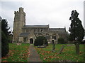
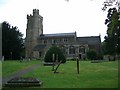

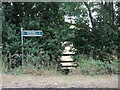
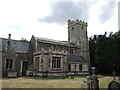
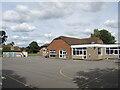
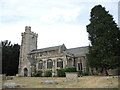
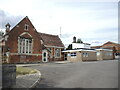
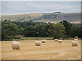
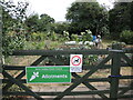
26 photos from this area
Area Information
Key information about the BA14 0TA including its size, population, and administrative classification.
- Area Type
- Postcode
- Area Size
- 21.6 hectares
- Population
- 1278
- Population Density
- 112 people/km²
House Prices in BA14 0TA
29
Properties
£282,933
Average Sold Price
£85,000
Lowest Price
£575,000
Highest Price
Showing 29 properties
| Address | Type | Beds | Baths | Last Sale Price | Last Sale Date | |
|---|---|---|---|---|---|---|
| The Old Coach House, Church Lane, North Bradley, BA14 0TA | house | - | - | £540,000 | Jan 2021 | |
| 51 Church Lane, North Bradley, BA14 0TA | house | 4 | - | £450,000 | Dec 2013 | |
| Weavers Cottage, 53 Church Lane, North Bradley, BA14 0TA | Semi-detached | 3 | - | £248,000 | Jul 2013 | |
| 59A Church Lane, North Bradley, BA14 0TA | Detached | 4 | 4 | £335,000 | Apr 2013 | |
| 54 Church Lane, North Bradley, BA14 0TA | house | - | - | £240,000 | Jun 2007 | |
| 56 Church Lane, North Bradley, BA14 0TA | Detached | - | - | £242,000 | Dec 2006 | |
| 49 Church Lane, North Bradley, BA14 0TA | Detached | 4 | - | £335,000 | Jul 2004 | |
| North Bradley House, Church Lane, North Bradley, BA14 0TA | Detached | 6 | - | £573,000 | Apr 2003 | |
| Tremaine Home Farm, 61 Church Lane, North Bradley, BA14 0TA | house | - | - | £575,000 | Aug 2001 | |
| 57 Church Lane, North Bradley, BA14 0TA | Semi-detached | - | - | £115,000 | Dec 2000 |
Page 1 of 3
Energy Efficiency in BA14 0TA
Amenities
Schools
| Rank | School | Type | Entry gender | Ages |
|---|
Explore more schools in this area
Go to Schools tabDemographics
Household Size
Two person
most common
Accommodation Type
Houses
most common
Tenure
86
majority
Ethnic Group
White
most common
Religion
N/A
most common
Household Composition
N/A
most common
Age
47
median
Adults (30-64 years)
most common
Household Deprivation
N/A
with no deprivation
NS-SEC
41
in Lower managerial occupations
Explore more demographic insights in this area
Go to Demographics tabPlanning
Planning Constraints
- Flood RiskPremium
- Ramsar Wetland SitesPremium
- Area of Outstanding Natural BeautyPremium
- Protected Nature ReservePremium
- Protected WoodlandPremium