Area Overview for BA14 0EZ
Photos of BA14 0EZ
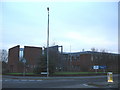
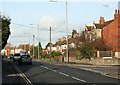
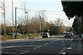
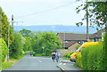
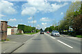
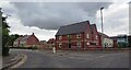
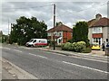
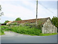
9 photos from this area
Area Information
Key information about the BA14 0EZ including its size, population, and administrative classification.
- Area Type
- Postcode
- Area Size
- 1.5 hectares
- Population
- Not available
- Population Density
- Not available
House Prices in BA14 0EZ
45
Properties
£129,800
Average Sold Price
£44,000
Lowest Price
£258,000
Highest Price
Showing 45 properties
| Address | Type | Beds | Baths | Last Sale Price | Last Sale Date | |
|---|---|---|---|---|---|---|
| 178 College Road, Trowbridge, BA14 0EZ | Terraced | 3 | 1 | £258,000 | Dec 2025 | |
| 164 College Road, Trowbridge, BA14 0EZ | Terraced | 3 | 1 | £190,000 | Aug 2018 | |
| 91 College Road, Trowbridge, BA14 0EZ | house | - | - | £208,000 | Jan 2018 | |
| 162 College Road, Trowbridge, BA14 0EZ | house | - | - | £155,000 | Jul 2016 | |
| 148 College Road, Trowbridge, BA14 0EZ | Terraced | 3 | - | £155,000 | Mar 2016 | |
| 156 College Road, Trowbridge, BA14 0EZ | Terraced | - | - | £145,000 | Oct 2007 | |
| 134 College Road, Trowbridge, BA14 0EZ | Terraced | - | - | £125,000 | Nov 2004 | |
| 83 College Road, Trowbridge, BA14 0EZ | Semi-detached | - | - | £136,500 | Oct 2004 | |
| 166 College Road, Trowbridge, BA14 0EZ | house | 1 | 1 | £115,000 | Feb 2004 | |
| 128 College Road, Trowbridge, BA14 0EZ | house | - | - | £106,000 | Feb 2004 |
Page 1 of 5
Energy Efficiency in BA14 0EZ
Amenities
Schools
| Rank | School | Type | Entry gender | Ages |
|---|
Explore more schools in this area
Go to Schools tabDemographics
Household Size
Two person
most common
Accommodation Type
Houses
most common
Tenure
66
majority
Ethnic Group
White
most common
Religion
N/A
most common
Household Composition
N/A
most common
Age
47
median
Adults (30-64 years)
most common
Household Deprivation
N/A
with no deprivation
NS-SEC
24
in Lower managerial occupations
Explore more demographic insights in this area
Go to Demographics tabPlanning
Planning Constraints
- Flood RiskPremium
- Ramsar Wetland SitesPremium
- Area of Outstanding Natural BeautyPremium
- Protected Nature ReservePremium
- Protected WoodlandPremium