Area Overview for BA13 4HS
Photos of BA13 4HS
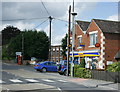
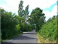
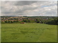
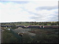
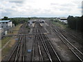
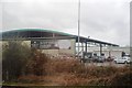
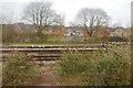
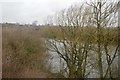
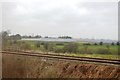
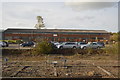
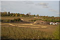
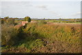
73 photos from this area
Area Information
Key information about the BA13 4HS including its size, population, and administrative classification.
- Area Type
- Postcode
- Area Size
- 5.2 hectares
- Population
- 1756
- Population Density
- 1536 people/km²
House Prices in BA13 4HS
63
Properties
£253,908
Average Sold Price
£110,700
Lowest Price
£450,000
Highest Price
Showing 63 properties
| Address | Type | Beds | Baths | Last Sale Price | Last Sale Date | |
|---|---|---|---|---|---|---|
| 25 Paxmans Road, Westbury, BA13 4HS | Terraced | 2 | 1 | £192,000 | Nov 2025 | |
| 65 Paxmans Road, Westbury, BA13 4HS | Detached | 4 | 3 | £330,000 | Jun 2025 | |
| 46 Paxmans Road, Westbury, BA13 4HS | Detached | 4 | 2 | £410,000 | May 2024 | |
| 32 Paxmans Road, Westbury, BA13 4HS | house | 4 | 2 | £405,000 | Mar 2024 | |
| 51 Paxmans Road, Westbury, BA13 4HS | house | - | - | £450,000 | May 2023 | |
| 63 Paxmans Road, Westbury, BA13 4HS | Semi-detached | 4 | 2 | £325,000 | Apr 2023 | |
| 35 Paxmans Road, Westbury, BA13 4HS | Terraced | 4 | 2 | £360,000 | Feb 2023 | |
| 55 Paxmans Road, Westbury, BA13 4HS | Detached | 4 | 2 | £405,000 | Oct 2022 | |
| 61 Paxmans Road, Westbury, BA13 4HS | Retail | 4 | 2 | £365,000 | Sep 2022 | |
| 36 Paxmans Road, Westbury, BA13 4HS | house | - | - | £320,000 | Sep 2022 |
Page 1 of 7
Energy Efficiency in BA13 4HS
Amenities
Schools
| Rank | School | Type | Entry gender | Ages |
|---|
Explore more schools in this area
Go to Schools tabDemographics
Household Size
Two person
most common
Accommodation Type
Houses
most common
Tenure
73
majority
Ethnic Group
White
most common
Religion
N/A
most common
Household Composition
N/A
most common
Age
47
median
Adults (30-64 years)
most common
Household Deprivation
N/A
with no deprivation
NS-SEC
33
in Lower managerial occupations
Explore more demographic insights in this area
Go to Demographics tabPlanning
Planning Constraints
- Flood RiskPremium
- Ramsar Wetland SitesPremium
- Area of Outstanding Natural BeautyPremium
- Protected Nature ReservePremium
- Protected WoodlandPremium