Area Overview for BA13 3FH
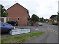
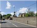
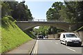
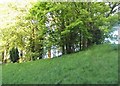
Photos of BA13 3FH
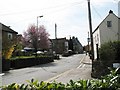
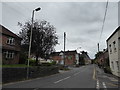
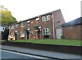
![Westbury houses [10] in BA13 3FH](https://images.propbar.co.uk/images/geograph/68/04/6804776_120.jpg)
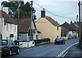
![Westbury houses [11] in BA13 3FH](https://images.propbar.co.uk/images/geograph/68/04/6804780_120.jpg)
77 photos from this area
Area Information
Key information about the BA13 3FH including its size, population, and administrative classification.
- Area Type
- Postcode
- Area Size
- 1.3 hectares
- Population
- 2710
- Population Density
- 2681 people/km²
House Prices in BA13 3FH
35
Properties
£236,799
Average Sold Price
£174,995
Lowest Price
£370,000
Highest Price
Showing 35 properties
| Address | Type | Beds | Baths | Last Sale Price | Last Sale Date | |
|---|---|---|---|---|---|---|
| 10 Mustang Close, Westbury, BA13 3FH | Detached | 4 | 2 | £370,000 | Mar 2025 | |
| 8 Mustang Close, Westbury, BA13 3FH | Retail | 2 | 1 | £200,000 | Sep 2022 | |
| 16 Mustang Close, Westbury, BA13 3FH | house | 4 | 2 | £245,000 | Jun 2019 | |
| 14 Mustang Close, Westbury, BA13 3FH | Semi-detached | 4 | 2 | £194,000 | Nov 2015 | |
| 18 Mustang Close, Westbury, BA13 3FH | house | - | - | £174,995 | Jul 2009 | |
| 6 Mustang Close, Westbury, BA13 3FH | Detached | 4 | 3 | - | - | |
| 20 Mustang Close, Westbury, BA13 3FH | Semi-detached | 3 | 2 | - | - | |
| 2 Mustang Close, Westbury, BA13 3FH | Semi-detached | 3 | 2 | - | - | |
| 11 Mustang Close, Westbury, BA13 3FH | house | - | - | - | - | |
| 21 Mustang Close, Westbury, BA13 3FH | Maisonette | - | - | - | - |
Page 1 of 4
Energy Efficiency in BA13 3FH
Amenities
Schools
| Rank | School | Type | Entry gender | Ages |
|---|
Explore more schools in this area
Go to Schools tabDemographics
Household Size
Family (3-5 people)
most common
Accommodation Type
Houses
most common
Tenure
71
majority
Ethnic Group
White
most common
Religion
N/A
most common
Household Composition
N/A
most common
Age
47
median
Adults (30-64 years)
most common
Household Deprivation
N/A
with no deprivation
NS-SEC
31
in Lower managerial occupations
Explore more demographic insights in this area
Go to Demographics tabPlanning
Planning Constraints
- Flood RiskPremium
- Ramsar Wetland SitesPremium
- Area of Outstanding Natural BeautyPremium
- Protected Nature ReservePremium
- Protected WoodlandPremium