Area Overview for BA12 9LA
Photos of BA12 9LA
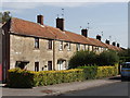
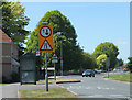
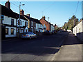
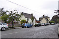
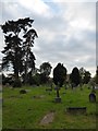
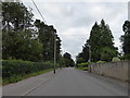
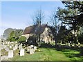
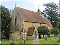
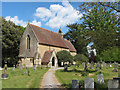
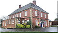
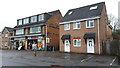
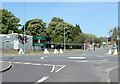
41 photos from this area
Area Information
Key information about the BA12 9LA including its size, population, and administrative classification.
- Area Type
- Postcode
- Area Size
- 7786 m²
- Population
- 1456
- Population Density
- 2366 people/km²
House Prices in BA12 9LA
15
Properties
£289,792
Average Sold Price
£92,500
Lowest Price
£570,000
Highest Price
Showing 15 properties
| Address | Type | Beds | Baths | Last Sale Price | Last Sale Date | |
|---|---|---|---|---|---|---|
| 7 Canons Close, Warminster, BA12 9LA | Detached | 4 | 2 | £415,000 | Mar 2024 | |
| 14 Canons Close, Warminster, BA12 9LA | house | - | - | £375,000 | Sep 2021 | |
| 12 Canons Close, Warminster, BA12 9LA | house | - | - | £355,000 | Apr 2021 | |
| 11 Canons Close, Warminster, BA12 9LA | house | - | - | £350,000 | Dec 2020 | |
| 8 Canons Close, Warminster, BA12 9LA | Detached | 4 | - | £328,000 | Sep 2020 | |
| Prestbury Lodge, 16 Canons Close, Warminster, BA12 9LA | house | - | - | £570,000 | Dec 2019 | |
| 2 Canons Close, Warminster, BA12 9LA | Detached | 4 | 1 | £322,500 | Oct 2016 | |
| 1 Canons Close, Warminster, BA12 9LA | Detached | - | - | £220,000 | Jul 2010 | |
| 4 Canons Close, Warminster, BA12 9LA | house | - | - | £240,000 | Jun 2010 | |
| 5 Canons Close, Warminster, BA12 9LA | Detached | 4 | 2 | £113,000 | Dec 1998 |
Page 1 of 2
Energy Efficiency in BA12 9LA
Amenities
Schools
| Rank | School | Type | Entry gender | Ages |
|---|
Explore more schools in this area
Go to Schools tabDemographics
Household Size
Two person
most common
Accommodation Type
Houses
most common
Tenure
87
majority
Ethnic Group
White
most common
Religion
N/A
most common
Household Composition
N/A
most common
Age
47
median
Adults (30-64 years)
most common
Household Deprivation
N/A
with no deprivation
NS-SEC
34
in Lower managerial occupations
Explore more demographic insights in this area
Go to Demographics tabPlanning
Planning Constraints
- Flood RiskPremium
- Ramsar Wetland SitesPremium
- Area of Outstanding Natural BeautyPremium
- Protected Nature ReservePremium
- Protected WoodlandPremium