Area Overview for BA12 8HU
Photos of BA12 8HU
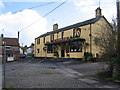
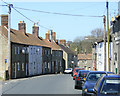
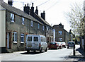
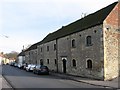
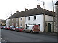
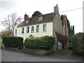
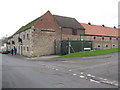
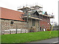
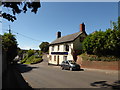
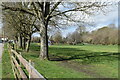
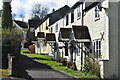
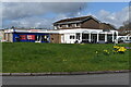
72 photos from this area
Area Information
Key information about the BA12 8HU including its size, population, and administrative classification.
- Area Type
- Postcode
- Area Size
- 8408 m²
- Population
- 1344
- Population Density
- 5264 people/km²
House Prices in BA12 8HU
25
Properties
£154,850
Average Sold Price
£68,000
Lowest Price
£275,000
Highest Price
Showing 25 properties
| Address | Type | Beds | Baths | Last Sale Price | Last Sale Date | |
|---|---|---|---|---|---|---|
| 101 Masefield Road, Warminster, BA12 8HU | Flat | - | - | £155,000 | Aug 2024 | |
| 85 Masefield Road, Warminster, BA12 8HU | Retail | 3 | 1 | £275,000 | Dec 2022 | |
| 69 Masefield Road, Warminster, BA12 8HU | Terraced | 3 | - | £200,000 | Jul 2021 | |
| 105 Masefield Road, Warminster, BA12 8HU | house | - | - | £187,500 | Feb 2021 | |
| 87 Masefield Road, Warminster, BA12 8HU | house | - | - | £185,000 | Apr 2019 | |
| 97 Masefield Road, Warminster, BA12 8HU | Terraced | 3 | - | £125,000 | Oct 2012 | |
| 107 Masefield Road, Warminster, BA12 8HU | Terraced | - | - | £140,000 | Feb 2007 | |
| 75 Masefield Road, Warminster, BA12 8HU | house | - | - | £130,000 | Aug 2006 | |
| 65 Masefield Road, Warminster, BA12 8HU | house | - | - | £83,000 | Sep 2002 | |
| 103 Masefield Road, Warminster, BA12 8HU | Terraced | - | - | £68,000 | Oct 2000 |
Page 1 of 3
Energy Efficiency in BA12 8HU
Amenities
Schools
| Rank | School | Type | Entry gender | Ages |
|---|
Explore more schools in this area
Go to Schools tabDemographics
Household Size
Two person
most common
Accommodation Type
Houses
most common
Tenure
64
majority
Ethnic Group
White
most common
Religion
N/A
most common
Household Composition
N/A
most common
Age
47
median
Adults (30-64 years)
most common
Household Deprivation
N/A
with no deprivation
NS-SEC
26
in Lower managerial occupations
Explore more demographic insights in this area
Go to Demographics tabPlanning
Planning Constraints
- Flood RiskPremium
- Ramsar Wetland SitesPremium
- Area of Outstanding Natural BeautyPremium
- Protected Nature ReservePremium
- Protected WoodlandPremium