Area Overview for BA12 6JE
Photos of BA12 6JE
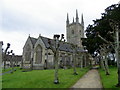
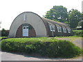
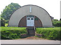
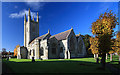
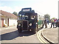
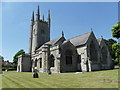
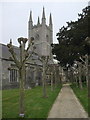
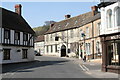
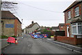
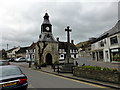
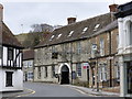
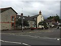
99 photos from this area
Area Information
Key information about the BA12 6JE including its size, population, and administrative classification.
- Area Type
- Postcode
- Area Size
- 3984 m²
- Population
- 1513
- Population Density
- 2140 people/km²
House Prices in BA12 6JE
26
Properties
£275,500
Average Sold Price
£97,000
Lowest Price
£535,000
Highest Price
Showing 26 properties
| Address | Type | Beds | Baths | Last Sale Price | Last Sale Date | |
|---|---|---|---|---|---|---|
| The Homestead, 22 Castle Street, Mere, BA12 6JE | house | - | - | £212,000 | Jul 2024 | |
| 1, Ashmere House, Castle Street, Mere, BA12 6JE | Flat | - | - | £165,000 | Mar 2023 | |
| Yew Glen House, Castle Street, Mere, BA12 6JE | Semi-detached | 4 | 3 | £535,000 | May 2021 | |
| Latimer House, Castle Street, Mere, BA12 6JE | Terraced | 5 | - | £455,000 | Apr 2021 | |
| 4, Ashmere House, Castle Street, Mere, BA12 6JE | Flat | - | - | £168,000 | Apr 2020 | |
| 1, Heritage Mews, Castle Street, Mere, BA12 6JE | Flat | - | - | £287,500 | Dec 2019 | |
| The Malt House, Castle Street, Mere, BA12 6JE | house | - | - | £310,000 | Mar 2017 | |
| 20 Castle Street, Mere, BA12 6JE | Cottage | 1 | 1 | £97,000 | Nov 2002 | |
| Castleton House, Castle Street, Mere, BA12 6JE | Terraced | 5 | 4 | £250,000 | Mar 2002 | |
| 10, Heritage Mews, Castle Street, Mere, BA12 6JE | house | 2 | 1 | - | - |
Page 1 of 3
Energy Efficiency in BA12 6JE
Amenities
Schools
| Rank | School | Type | Entry gender | Ages |
|---|
Explore more schools in this area
Go to Schools tabDemographics
Household Size
Two person
most common
Accommodation Type
Houses
most common
Tenure
55
majority
Ethnic Group
White
most common
Religion
N/A
most common
Household Composition
N/A
most common
Age
47
median
Adults (30-64 years)
most common
Household Deprivation
N/A
with no deprivation
NS-SEC
27
in Lower managerial occupations
Explore more demographic insights in this area
Go to Demographics tabPlanning
Planning Constraints
- Flood RiskPremium
- Ramsar Wetland SitesPremium
- Area of Outstanding Natural BeautyPremium
- Protected Nature ReservePremium
- Protected WoodlandPremium