Area Overview for BA11 1BZ
Photos of BA11 1BZ
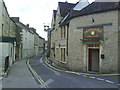
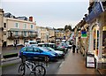
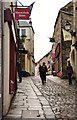
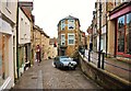
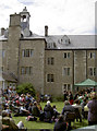
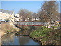
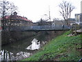
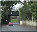
100 photos from this area
Area Information
Key information about the BA11 1BZ including its size, population, and administrative classification.
- Area Type
- Postcode
- Area Size
- 4113 m²
- Population
- 2043
- Population Density
- 5316 people/km²
House Prices in BA11 1BZ
30
Properties
£208,643
Average Sold Price
£18,000
Lowest Price
£290,000
Highest Price
Showing 30 properties
| Address | Type | Beds | Baths | Last Sale Price | Last Sale Date | |
|---|---|---|---|---|---|---|
| 11A Catherine Hill, Frome, BA11 1BZ | Flat | - | - | £280,000 | May 2022 | |
| 10A Catherine Hill, Frome, BA11 1BZ | Terraced | 2 | 1 | £285,000 | Jul 2019 | |
| 14A CATHERINE HILL, Frome, BA11 1BZ | Flat | - | - | £290,000 | Dec 2018 | |
| 17A Catherine Hill, Frome, BA11 1BZ | Flat | - | - | £212,500 | Sep 2018 | |
| 10 Catherine Hill, Frome, BA11 1BZ | Detached | - | - | £155,000 | May 2006 | |
| 23 Catherine Hill, Frome, BA11 1BZ | Flat | - | - | £220,000 | Mar 2004 | |
| 21 Catherine Hill, Frome, BA11 1BZ | Terraced | - | - | £18,000 | Jul 1997 | |
| Flat 1, 13 Catherine Hill, Frome, BA11 1BZ | Flat | 1 | 1 | - | - | |
| 18C Catherine Hill, Frome, BA11 1BZ | Flat | 1 | 1 | - | - | |
| Flat 2, 18 Catherine Hill, Frome, BA11 1BZ | Flat | - | - | - | - |
Page 1 of 3
Energy Efficiency in BA11 1BZ
Amenities
Schools
| Rank | School | Type | Entry gender | Ages |
|---|
Explore more schools in this area
Go to Schools tabDemographics
Household Size
One person
most common
Accommodation Type
Houses
most common
Tenure
48
majority
Ethnic Group
White
most common
Religion
N/A
most common
Household Composition
N/A
most common
Age
47
median
Adults (30-64 years)
most common
Household Deprivation
N/A
with no deprivation
NS-SEC
34
in Lower managerial occupations
Explore more demographic insights in this area
Go to Demographics tabPlanning
Planning Constraints
- Flood RiskPremium
- Ramsar Wetland SitesPremium
- Area of Outstanding Natural BeautyPremium
- Protected Nature ReservePremium
- Protected WoodlandPremium