Area Overview for BA10 0JY
Photos of BA10 0JY
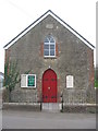
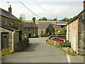
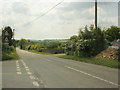
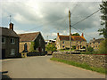

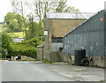
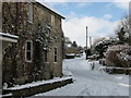
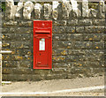
14 photos from this area
Area Information
Key information about the BA10 0JY including its size, population, and administrative classification.
- Area Type
- Postcode
- Area Size
- 19.9 hectares
- Population
- 2470
- Population Density
- 31 people/km²
House Prices in BA10 0JY
11
Properties
£315,000
Average Sold Price
£310,000
Lowest Price
£320,000
Highest Price
Showing 11 properties
| Address | Type | Beds | Baths | Last Sale Price | Last Sale Date | |
|---|---|---|---|---|---|---|
| Birley, Charcroft Hill, South Brewham, Bruton, BA10 0JY | Bungalow | 2 | 2 | £310,000 | Dec 2016 | |
| Valley House, Tile Hill, South Brewham, Bruton, BA10 0JY | Detached | - | - | £320,000 | Feb 2003 | |
| Mill Farm, Tile Hill, South Brewham, Bruton, BA10 0JY | Detached | 4 | 2 | - | - | |
| The Stores, Tile Hill, South Brewham, Bruton, BA10 0JY | Semi-detached | - | - | - | - | |
| Hoofprints, Tile Hill, South Brewham, Bruton, BA10 0JY | Detached | - | - | - | - | |
| The Mill, Tile Hill, South Brewham, Bruton, BA10 0JY | Detached | - | - | - | - | |
| Acorns, Mill Farm, Tile Hill, South Brewham, Bruton, BA10 0JY | Detached | - | - | - | - | |
| Bridge Farm, Tile Hill, South Brewham, Bruton, BA10 0JY | Detached | - | - | - | - | |
| Bridge Cottage, Tile Hill, South Brewham, Bruton, BA10 0JY | Terraced | - | - | - | - | |
| Mill House, Tile Hill, South Brewham, Bruton, BA10 0JY | Detached | - | - | - | - |
Page 1 of 2
Energy Efficiency in BA10 0JY
Amenities
Schools
| Rank | School | Type | Entry gender | Ages |
|---|
Explore more schools in this area
Go to Schools tabDemographics
Household Size
Two person
most common
Accommodation Type
Houses
most common
Tenure
75
majority
Ethnic Group
White
most common
Religion
N/A
most common
Household Composition
N/A
most common
Age
47
median
Adults (30-64 years)
most common
Household Deprivation
N/A
with no deprivation
NS-SEC
38
in Lower managerial occupations
Explore more demographic insights in this area
Go to Demographics tabPlanning
Planning Constraints
- Flood RiskPremium
- Ramsar Wetland SitesPremium
- Area of Outstanding Natural BeautyPremium
- Protected Nature ReservePremium
- Protected WoodlandPremium