Area Overview for BA1 8AE
Photos of BA1 8AE
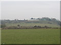
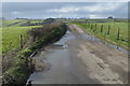
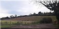
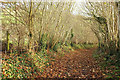
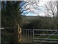
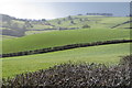
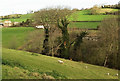
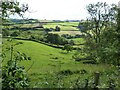
24 photos from this area
Area Information
Key information about the BA1 8AE including its size, population, and administrative classification.
- Area Type
- Postcode
- Area Size
- 32.8 hectares
- Population
- 1293
- Population Density
- 41 people/km²
House Prices in BA1 8AE
8
Properties
£270,000
Average Sold Price
£270,000
Lowest Price
£270,000
Highest Price
Showing 8 properties
| Address | Type | Beds | Baths | Last Sale Price | Last Sale Date | |
|---|---|---|---|---|---|---|
| Shire End Farm, Gloucester Road, Swainswick, Bath, BA1 8AE | Detached | 5 | 3 | £270,000 | Dec 2000 | |
| Em Drilling Ltd, Four Winds Farm, Gloucester Road, Swainswick, Bath, BA1 8AE | Office | - | - | - | - | |
| Four Winds Farm, Gloucester Road, Swainswick, Bath, BA1 8AE | Detached | - | - | - | - | |
| Agricultural Buildings And Yard, Gloucester Road, Swainswick, Bath, BA1 8AE | Farm | - | - | - | - | |
| Hillside Court, Gloucester Road, Swainswick, Bath, BA1 8AE | Detached | - | - | - | - | |
| Unregistered Caravan In Tadwick Wood, Gloucester Road, Swainswick, Bath, BA1 8AE | Mobile Home | - | - | - | - | |
| The Gate House, Shire End Farm, Gloucester Road, Swainswick, Bath, BA1 8AE | house | - | - | - | - | |
| Unregistered Chalet In Tadwick Wood, Gloucester Road, Swainswick, Bath, BA1 8AE | Mobile Home | - | - | - | - |
Energy Efficiency in BA1 8AE
Amenities
Schools
| Rank | School | Type | Entry gender | Ages |
|---|
Explore more schools in this area
Go to Schools tabDemographics
Household Size
Two person
most common
Accommodation Type
Houses
most common
Tenure
84
majority
Ethnic Group
White
most common
Religion
N/A
most common
Household Composition
N/A
most common
Age
47
median
Adults (30-64 years)
most common
Household Deprivation
N/A
with no deprivation
NS-SEC
49
in Lower managerial occupations
Explore more demographic insights in this area
Go to Demographics tabPlanning
Planning Constraints
- Flood RiskPremium
- Ramsar Wetland SitesPremium
- Area of Outstanding Natural BeautyPremium
- Protected Nature ReservePremium
- Protected WoodlandPremium