Area Overview for BA1 4ES
Photos of BA1 4ES
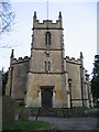
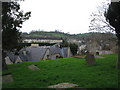
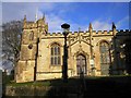
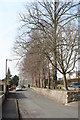
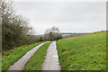
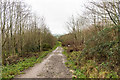
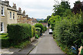
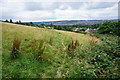

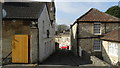
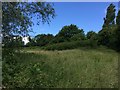
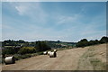
47 photos from this area
Area Information
Key information about the BA1 4ES including its size, population, and administrative classification.
- Area Type
- Postcode
- Area Size
- 4359 m²
- Population
- 1414
- Population Density
- 2142 people/km²
House Prices in BA1 4ES
15
Properties
£257,400
Average Sold Price
£123,000
Lowest Price
£430,000
Highest Price
Showing 15 properties
| Address | Type | Beds | Baths | Last Sale Price | Last Sale Date | |
|---|---|---|---|---|---|---|
| 51 Lynfield Park, Upper Weston, Bath, BA1 4ES | Terraced | 3 | 1 | £410,000 | Oct 2025 | |
| 49 Lynfield Park, Upper Weston, Bath, BA1 4ES | Terraced | 3 | 1 | £285,000 | Aug 2019 | |
| 31 Lynfield Park, Upper Weston, Bath, BA1 4ES | Maisonette | 1 | 1 | £430,000 | Jul 2019 | |
| 39 Lynfield Park, Upper Weston, Bath, BA1 4ES | Semi-detached | 3 | - | £280,000 | Jan 2016 | |
| 43 Lynfield Park, Upper Weston, Bath, BA1 4ES | Semi-detached | 3 | - | £260,000 | Dec 2013 | |
| 47 Lynfield Park, Upper Weston, Bath, BA1 4ES | house | - | - | £215,000 | Jan 2012 | |
| 35 Lynfield Park, Upper Weston, Bath, BA1 4ES | Semi-detached | - | - | £183,000 | Jan 2009 | |
| 57 Lynfield Park, Upper Weston, Bath, BA1 4ES | Terraced | - | - | £188,000 | Aug 2008 | |
| 45 Lynfield Park, Upper Weston, Bath, BA1 4ES | Semi-detached | - | - | £200,000 | Mar 2006 | |
| 55 Lynfield Park, Upper Weston, Bath, BA1 4ES | Terraced | - | - | £123,000 | Sep 2000 |
Page 1 of 2
Energy Efficiency in BA1 4ES
Amenities
Schools
| Rank | School | Type | Entry gender | Ages |
|---|
Explore more schools in this area
Go to Schools tabDemographics
Household Size
Two person
most common
Accommodation Type
Houses
most common
Tenure
75
majority
Ethnic Group
White
most common
Religion
N/A
most common
Household Composition
N/A
most common
Age
47
median
Adults (30-64 years)
most common
Household Deprivation
N/A
with no deprivation
NS-SEC
54
in Lower managerial occupations
Explore more demographic insights in this area
Go to Demographics tabPlanning
Planning Constraints
- Flood RiskPremium
- Ramsar Wetland SitesPremium
- Area of Outstanding Natural BeautyPremium
- Protected Nature ReservePremium
- Protected WoodlandPremium