Area Overview for BA1 2YE
Photos of BA1 2YE
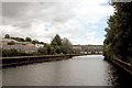
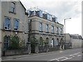
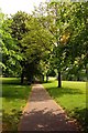
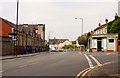
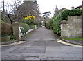
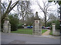
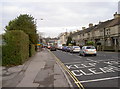
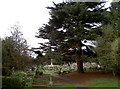
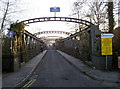
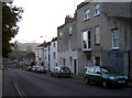
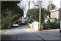

100 photos from this area
Area Information
Key information about the BA1 2YE including its size, population, and administrative classification.
- Area Type
- Postcode
- Area Size
- 4.5 hectares
- Population
- 1414
- Population Density
- 2142 people/km²
House Prices in BA1 2YE
51
Properties
£531,801
Average Sold Price
£113,000
Lowest Price
£880,000
Highest Price
Showing 51 properties
| Address | Type | Beds | Baths | Last Sale Price | Last Sale Date | |
|---|---|---|---|---|---|---|
| 73 Cranwells Park, Lower Weston, Bath, BA1 2YE | Detached | 4 | 1 | £820,000 | Jan 2025 | |
| 66 Cranwells Park, Lower Weston, Bath, BA1 2YE | house | - | - | £840,000 | Mar 2024 | |
| 46 Cranwells Park, Lower Weston, Bath, BA1 2YE | Semi-detached | 4 | 2 | £835,000 | Nov 2023 | |
| 80 Cranwells Park, Lower Weston, Bath, BA1 2YE | Detached | 3 | 1 | £725,000 | Sep 2023 | |
| 35 Cranwells Park, Lower Weston, Bath, BA1 2YE | Detached | 3 | 1 | £835,000 | Aug 2023 | |
| 45 Cranwells Park, Lower Weston, Bath, BA1 2YE | Detached | 3 | 1 | £780,000 | Jan 2023 | |
| 77 Cranwells Park, Lower Weston, Bath, BA1 2YE | house | - | - | £830,000 | Aug 2022 | |
| 64 Cranwells Park, Lower Weston, Bath, BA1 2YE | Retail | 3 | 1 | £880,000 | Mar 2022 | |
| 51 Cranwells Park, Lower Weston, Bath, BA1 2YE | house | - | - | £750,000 | Oct 2021 | |
| 68 Cranwells Park, Lower Weston, Bath, BA1 2YE | Detached | 4 | - | £795,000 | Aug 2020 |
Page 1 of 6
Energy Efficiency in BA1 2YE
Amenities
Schools
| Rank | School | Type | Entry gender | Ages |
|---|
Explore more schools in this area
Go to Schools tabDemographics
Household Size
Two person
most common
Accommodation Type
Houses
most common
Tenure
75
majority
Ethnic Group
White
most common
Religion
N/A
most common
Household Composition
N/A
most common
Age
47
median
Adults (30-64 years)
most common
Household Deprivation
N/A
with no deprivation
NS-SEC
54
in Lower managerial occupations
Explore more demographic insights in this area
Go to Demographics tabPlanning
Planning Constraints
- Flood RiskPremium
- Ramsar Wetland SitesPremium
- Area of Outstanding Natural BeautyPremium
- Protected Nature ReservePremium
- Protected WoodlandPremium