Area Overview for BA1 2UU
Photos of BA1 2UU
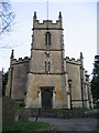
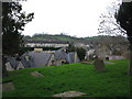
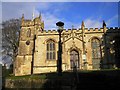
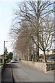
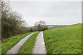
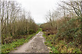
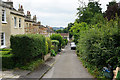
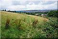
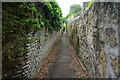
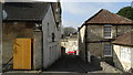
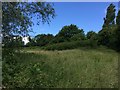
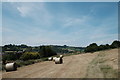
47 photos from this area
Area Information
Key information about the BA1 2UU including its size, population, and administrative classification.
- Area Type
- Postcode
- Area Size
- 3.6 hectares
- Population
- 2485
- Population Density
- 1099 people/km²
House Prices in BA1 2UU
18
Properties
£337,000
Average Sold Price
£177,500
Lowest Price
£585,000
Highest Price
Showing 18 properties
| Address | Type | Beds | Baths | Last Sale Price | Last Sale Date | |
|---|---|---|---|---|---|---|
| 11 Mountain Ash, Upper Weston, Bath, BA1 2UU | Terraced | 4 | 2 | £470,500 | Jun 2023 | |
| 15 Mountain Ash, Upper Weston, Bath, BA1 2UU | Retail | 3 | 1 | £440,000 | Nov 2021 | |
| Summerhill, 20 Mountain Ash, Upper Weston, Bath, BA1 2UU | Detached | 4 | - | £585,000 | Aug 2020 | |
| 19 Mountain Ash, Upper Weston, Bath, BA1 2UU | Detached | 4 | 2 | £480,000 | Nov 2006 | |
| 12 Mountain Ash, Upper Weston, Bath, BA1 2UU | house | - | - | £230,000 | Feb 2004 | |
| 14 Mountain Ash, Upper Weston, Bath, BA1 2UU | Terraced | - | - | £225,000 | Nov 2003 | |
| 16 Mountain Ash, Upper Weston, Bath, BA1 2UU | Terraced | - | - | £185,000 | May 2002 | |
| 22 Mountain Ash, Upper Weston, Bath, BA1 2UU | Detached | 4 | - | £240,000 | Sep 1999 | |
| 21 Mountain Ash, Upper Weston, Bath, BA1 2UU | Detached | - | - | £177,500 | Apr 1998 | |
| 4 Mountain Ash, Upper Weston, Bath, BA1 2UU | house | 3 | - | - | - |
Page 1 of 2
Energy Efficiency in BA1 2UU
Amenities
Schools
| Rank | School | Type | Entry gender | Ages |
|---|
Explore more schools in this area
Go to Schools tabDemographics
Household Size
Two person
most common
Accommodation Type
Houses
most common
Tenure
81
majority
Ethnic Group
White
most common
Religion
N/A
most common
Household Composition
N/A
most common
Age
47
median
Adults (30-64 years)
most common
Household Deprivation
N/A
with no deprivation
NS-SEC
58
in Lower managerial occupations
Explore more demographic insights in this area
Go to Demographics tabPlanning
Planning Constraints
- Flood RiskPremium
- Ramsar Wetland SitesPremium
- Area of Outstanding Natural BeautyPremium
- Protected Nature ReservePremium
- Protected WoodlandPremium