Area Overview for West Sussex

Lower Street, Pulborough in West Sussex
Rivermead, Pulborough in West Sussex
Footpaths to Pulborough in West Sussex
River Stor near Pulborough in West Sussex
Bus stop at Oddfellows Arms, Lower Street (A283) in West Sussex
Junction of Rectory Lane with Lower Street in West Sussex
Junction of Rectory and Moat Lanes in West Sussex
Street scene in Pulborough in West Sussex
Track to Pulborough Brooks in West Sussex
Start of path heading south from Barn House Lane in West Sussex
View NE towards houses in Pulborough in West Sussex
Rivermead - view to the south in West Sussex
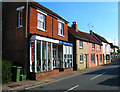
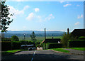
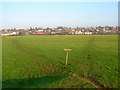
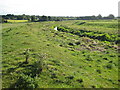
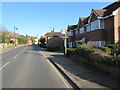
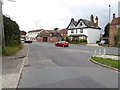
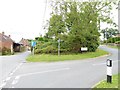
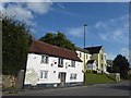
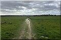
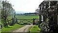
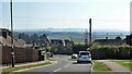
52 photos from this area

Area Information

Key information about the West Sussex including its size, population, and administrative classification.

Area Type
Ceremonial Counties Region
Area Size
2024.5 km²
Population
Not available
Population Density
Not available

Demographics

Household Size

total
most common

Accommodation Type

total
most common

Tenure

70
majority

Ethnic Group

total
most common

Religion

total
most common

Household Composition

total
most common

Age

70
median
Age: Total
most common

Household Deprivation

N/A
with no deprivation

NS-SEC

37
in Lower managerial occupations

Explore more demographic insights in this area

Go to Demographics tab

Planning

Explore more planning insights in this area

Open Planning map

We use cookies to provide you with the best experience. By continuing, you agree to our Cookie Policy .