Area Overview for UB9 5HY
Photos of UB9 5HY
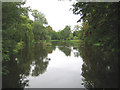
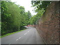
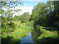
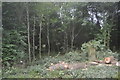
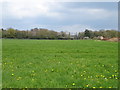
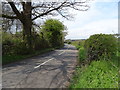
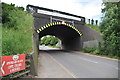
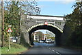
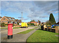
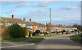
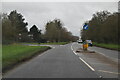
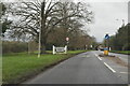
39 photos from this area
Area Information
Key information about the UB9 5HY including its size, population, and administrative classification.
- Area Type
- Postcode
- Area Size
- 1.5 hectares
- Population
- 2317
- Population Density
- 1989 people/km²
House Prices in UB9 5HY
36
Properties
£215,900
Average Sold Price
£55,000
Lowest Price
£315,000
Highest Price
Showing 36 properties
| Address | Type | Beds | Baths | Last Sale Price | Last Sale Date | |
|---|---|---|---|---|---|---|
| 69 Tilehouse Way, Denham Green, UB9 5HY | Flat | 2 | 1 | £285,000 | Sep 2025 | |
| 21 Tilehouse Way, Denham Green, UB9 5HY | Flat | - | - | £145,000 | Jun 2021 | |
| 25 Tilehouse Way, Denham Green, UB9 5HY | Flat | - | - | £305,000 | Mar 2021 | |
| 31 Tilehouse Way, Denham Green, UB9 5HY | Flat | - | - | £222,000 | Aug 2020 | |
| 39 Tilehouse Way, Denham Green, UB9 5HY | Flat | - | - | £315,000 | Feb 2020 | |
| 49 Tilehouse Way, Denham Green, UB9 5HY | Flat | - | - | £222,000 | Apr 2018 | |
| 63 Tilehouse Way, Denham Green, UB9 5HY | Flat | 1 | 1 | £246,000 | Jun 2016 | |
| 17 Tilehouse Way, Denham Green, UB9 5HY | Flat | - | - | £189,000 | Jun 2010 | |
| 57 Tilehouse Way, Denham Green, UB9 5HY | Flat | 1 | 1 | £175,000 | Feb 2008 | |
| 65 Tilehouse Way, Denham Green, UB9 5HY | Flat | 2 | 1 | £55,000 | Jul 1995 |
Page 1 of 4
Energy Efficiency in UB9 5HY
Amenities
Schools
| Rank | School | Type | Entry gender | Ages |
|---|
Explore more schools in this area
Go to Schools tabDemographics
Household Size
One person
most common
Accommodation Type
Flats
most common
Tenure
52
majority
Ethnic Group
White
most common
Religion
N/A
most common
Household Composition
N/A
most common
Age
47
median
Adults (30-64 years)
most common
Household Deprivation
N/A
with no deprivation
NS-SEC
38
in Lower managerial occupations
Explore more demographic insights in this area
Go to Demographics tabPlanning
Planning Constraints
- Flood RiskPremium
- Ramsar Wetland SitesPremium
- Area of Outstanding Natural BeautyPremium
- Protected Nature ReservePremium
- Protected WoodlandPremium