Area Overview for UB9 5AE
Photos of UB9 5AE
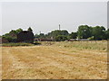
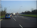

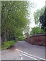
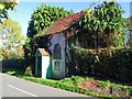

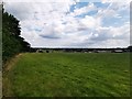
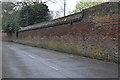
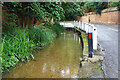
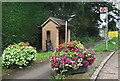
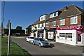
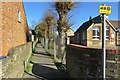
42 photos from this area
Area Information
Key information about the UB9 5AE including its size, population, and administrative classification.
- Area Type
- Postcode
- Area Size
- 2.1 hectares
- Population
- 2014
- Population Density
- 511 people/km²
House Prices in UB9 5AE
18
Properties
£527,000
Average Sold Price
£450,000
Lowest Price
£730,000
Highest Price
Showing 18 properties
| Address | Type | Beds | Baths | Last Sale Price | Last Sale Date | |
|---|---|---|---|---|---|---|
| The Poachers, Cheapside Lane, Denham, UB9 5AE | Terraced | 2 | 2 | £535,000 | Nov 2024 | |
| The Rookery, Cheapside Lane, Denham, UB9 5AE | Terraced | 3 | 2 | £525,000 | Jul 2022 | |
| Caerphilly, Cheapside Lane, Denham, UB9 5AE | Detached | 4 | - | £730,000 | Oct 2016 | |
| Lodge Cottage, Cheapside Lane, Denham, UB9 5AE | house | 3 | - | £470,500 | Mar 2015 | |
| Maple Lodge, Cheapside Lane, Denham, UB9 5AE | Detached | 4 | - | £575,000 | Sep 2012 | |
| Stebbing, Cheapside Lane, Denham, UB9 5AE | house | 3 | - | £525,000 | Apr 2011 | |
| White Gates, Cheapside Lane, Denham, UB9 5AE | Bungalow | 5 | - | £472,500 | Feb 2011 | |
| Pebble Cottage, Cheapside Lane, Denham, UB9 5AE | Detached | - | - | £460,000 | Feb 2002 | |
| Cheapside House, Cheapside Lane, Denham, UB9 5AE | Terraced | - | - | £450,000 | Aug 2001 | |
| Cara, Cheapside Lane, Denham, UB9 5AE | house | 4 | 2 | - | - |
Page 1 of 2
Energy Efficiency in UB9 5AE
Amenities
Schools
| Rank | School | Type | Entry gender | Ages |
|---|
Explore more schools in this area
Go to Schools tabDemographics
Household Size
Family (3-5 people)
most common
Accommodation Type
Houses
most common
Tenure
84
majority
Ethnic Group
White
most common
Religion
N/A
most common
Household Composition
N/A
most common
Age
47
median
Adults (30-64 years)
most common
Household Deprivation
N/A
with no deprivation
NS-SEC
44
in Lower managerial occupations
Explore more demographic insights in this area
Go to Demographics tabPlanning
Planning Constraints
- Flood RiskPremium
- Ramsar Wetland SitesPremium
- Area of Outstanding Natural BeautyPremium
- Protected Nature ReservePremium
- Protected WoodlandPremium