Area Overview for UB9 4LF
Photos of UB9 4LF
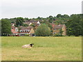
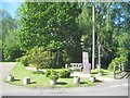
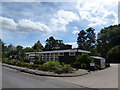
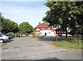
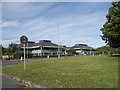
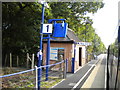
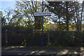
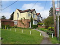
29 photos from this area
Area Information
Key information about the UB9 4LF including its size, population, and administrative classification.
- Area Type
- Postcode
- Area Size
- 6.6 hectares
- Population
- 2086
- Population Density
- 432 people/km²
House Prices in UB9 4LF
18
Properties
£1,104,823
Average Sold Price
£435,000
Lowest Price
£2,080,000
Highest Price
Showing 18 properties
| Address | Type | Beds | Baths | Last Sale Price | Last Sale Date | |
|---|---|---|---|---|---|---|
| Fontmell, Bakers Wood, Denham, UB9 4LF | Detached | 5 | 2 | £1,187,500 | Dec 2023 | |
| Buckleigh, Bakers Wood, Denham, UB9 4LF | Detached | 4 | 2 | £1,375,000 | Nov 2023 | |
| Rosewood House, Bakers Wood, Denham, UB9 4LF | house | 3 | 2 | £2,080,000 | Jul 2023 | |
| Coombe Cottage, Bakers Wood, Denham, UB9 4LF | Detached | 5 | 3 | £1,400,000 | Jul 2023 | |
| Sunningdale House, Bakers Wood, Denham, UB9 4LF | house | - | - | £1,195,000 | Mar 2021 | |
| Cherry Trees, Bakers Wood, Denham, UB9 4LF | house | - | - | £1,242,566 | Aug 2019 | |
| Treetops, Bakers Wood, Denham, UB9 4LF | Detached | 5 | 4 | £1,200,000 | May 2019 | |
| Valhalla, Bakers Wood, Denham, UB9 4LF | Detached | 5 | 4 | £1,160,000 | Jun 2017 | |
| Highlands, Bakers Wood, Denham, UB9 4LF | Detached | 4 | - | £799,950 | Mar 2014 | |
| Springfield, Bakers Wood, Denham, UB9 4LF | Detached | 5 | 3 | £870,000 | Oct 2013 |
Page 1 of 2
Energy Efficiency in UB9 4LF
Amenities
Schools
| Rank | School | Type | Entry gender | Ages |
|---|
Explore more schools in this area
Go to Schools tabDemographics
Household Size
Family (3-5 people)
most common
Accommodation Type
Houses
most common
Tenure
74
majority
Ethnic Group
White
most common
Religion
N/A
most common
Household Composition
N/A
most common
Age
47
median
Adults (30-64 years)
most common
Household Deprivation
N/A
with no deprivation
NS-SEC
46
in Lower managerial occupations
Explore more demographic insights in this area
Go to Demographics tabPlanning
Planning Constraints
- Flood RiskPremium
- Ramsar Wetland SitesPremium
- Area of Outstanding Natural BeautyPremium
- Protected Nature ReservePremium
- Protected WoodlandPremium