Area Overview for TW20 0RD
Photos of TW20 0RD
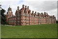
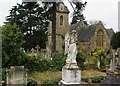
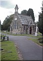
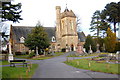
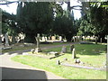

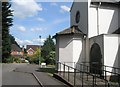
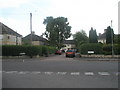
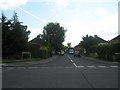
100 photos from this area
Area Information
Key information about the TW20 0RD including its size, population, and administrative classification.
- Area Type
- Postcode
- Area Size
- 1.1 hectares
- Population
- 1533
- Population Density
- 5100 people/km²
House Prices in TW20 0RD
41
Properties
£300,667
Average Sold Price
£139,950
Lowest Price
£557,500
Highest Price
Showing 41 properties
| Address | Type | Beds | Baths | Last Sale Price | Last Sale Date | |
|---|---|---|---|---|---|---|
| 32 Larksfield, Englefield Green, TW20 0RD | Terraced | 3 | 1 | £470,000 | Mar 2025 | |
| 20 Larksfield, Englefield Green, TW20 0RD | Semi-detached | 3 | 1 | £460,000 | Sep 2024 | |
| 16 Larksfield, Englefield Green, TW20 0RD | house | 3 | 2 | £557,500 | Jun 2022 | |
| 82 Larksfield, Englefield Green, TW20 0RD | Maisonette | 2 | 1 | £227,500 | Mar 2021 | |
| 48 Larksfield, Englefield Green, TW20 0RD | Terraced | 2 | 1 | £320,000 | Oct 2018 | |
| 14 Larksfield, Englefield Green, TW20 0RD | Detached | 3 | 1 | £525,000 | Sep 2017 | |
| 42 Larksfield, Englefield Green, TW20 0RD | Terraced | 3 | - | £355,000 | Aug 2015 | |
| 30 Larksfield, Englefield Green, TW20 0RD | house | - | - | £230,000 | Feb 2011 | |
| 10 Larksfield, Englefield Green, TW20 0RD | house | - | - | £325,000 | Feb 2011 | |
| 28 Larksfield, Englefield Green, TW20 0RD | Terraced | 2 | 1 | £215,000 | Jun 2010 |
Page 1 of 5
Energy Efficiency in TW20 0RD
Amenities
Schools
| Rank | School | Type | Entry gender | Ages |
|---|
Explore more schools in this area
Go to Schools tabDemographics
Household Size
Family (3-5 people)
most common
Accommodation Type
Houses
most common
Tenure
45
majority
Ethnic Group
White
most common
Religion
N/A
most common
Household Composition
N/A
most common
Age
47
median
Adults (30-64 years)
most common
Household Deprivation
N/A
with no deprivation
NS-SEC
37
in Lower managerial occupations
Explore more demographic insights in this area
Go to Demographics tabPlanning
Planning Constraints
- Flood RiskPremium
- Ramsar Wetland SitesPremium
- Area of Outstanding Natural BeautyPremium
- Protected Nature ReservePremium
- Protected WoodlandPremium