Area Overview for TW20 0PX
Photos of TW20 0PX
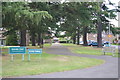

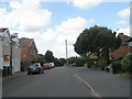
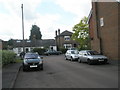
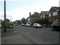
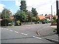
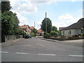
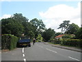
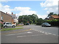
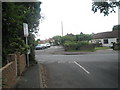
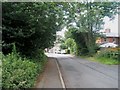
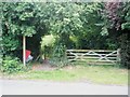
85 photos from this area
Area Information
Key information about the TW20 0PX including its size, population, and administrative classification.
- Area Type
- Postcode
- Area Size
- 9701 m²
- Population
- 1432
- Population Density
- 4461 people/km²
House Prices in TW20 0PX
28
Properties
£310,969
Average Sold Price
£144,000
Lowest Price
£540,000
Highest Price
Showing 28 properties
| Address | Type | Beds | Baths | Last Sale Price | Last Sale Date | |
|---|---|---|---|---|---|---|
| 100 Bond Street, Englefield Green, TW20 0PX | Semi-detached | 2 | 2 | £540,000 | Sep 2025 | |
| 86 Bond Street, Englefield Green, TW20 0PX | Semi-detached | 5 | 1 | £480,000 | Aug 2024 | |
| 102 Bond Street, Englefield Green, TW20 0PX | Semi-detached | 2 | 2 | £465,000 | Aug 2022 | |
| 94 Bond Street, Englefield Green, TW20 0PX | house | 4 | 1 | £410,000 | May 2022 | |
| 66 Bond Street, Englefield Green, TW20 0PX | Terraced | 2 | 1 | £340,000 | Jun 2021 | |
| 98 Bond Street, Englefield Green, TW20 0PX | Terraced | 2 | 1 | £350,000 | Feb 2020 | |
| 82 Bond Street, Englefield Green, TW20 0PX | Semi-detached | 5 | 2 | £410,000 | Dec 2016 | |
| 88 Bond Street, Englefield Green, TW20 0PX | Semi-detached | 4 | 1 | £393,000 | Apr 2016 | |
| 104 Bond Street, Englefield Green, TW20 0PX | Semi-detached | 2 | - | £242,500 | Jul 2012 | |
| 106 Bond Street, Englefield Green, TW20 0PX | house | 2 | 1 | £240,000 | Jun 2005 |
Page 1 of 3
Energy Efficiency in TW20 0PX
Amenities
Schools
| Rank | School | Type | Entry gender | Ages |
|---|
Explore more schools in this area
Go to Schools tabDemographics
Household Size
One person
most common
Accommodation Type
Houses
most common
Tenure
34
majority
Ethnic Group
White
most common
Religion
N/A
most common
Household Composition
N/A
most common
Age
47
median
Adults (30-64 years)
most common
Household Deprivation
N/A
with no deprivation
NS-SEC
26
in Lower managerial occupations
Explore more demographic insights in this area
Go to Demographics tabPlanning
Planning Constraints
- Flood RiskPremium
- Ramsar Wetland SitesPremium
- Area of Outstanding Natural BeautyPremium
- Protected Nature ReservePremium
- Protected WoodlandPremium