Area Overview for TW20 0NJ
Photos of TW20 0NJ
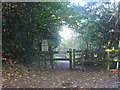


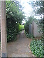
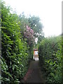
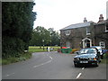
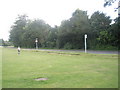
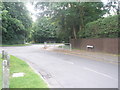
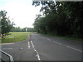
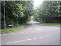
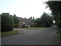
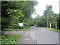
100 photos from this area
Area Information
Key information about the TW20 0NJ including its size, population, and administrative classification.
- Area Type
- Postcode
- Area Size
- 2.3 hectares
- Population
- 4542
- Population Density
- 2723 people/km²
House Prices in TW20 0NJ
16
Properties
£1,099,444
Average Sold Price
£715,000
Lowest Price
£1,700,000
Highest Price
Showing 16 properties
| Address | Type | Beds | Baths | Last Sale Price | Last Sale Date | |
|---|---|---|---|---|---|---|
| Little Bar, Tite Hill, Englefield Green, TW20 0NJ | house | 4 | 2 | £1,400,000 | Aug 2024 | |
| Thihan, Tite Hill, Englefield Green, TW20 0NJ | Detached | 4 | 1 | £1,135,000 | Mar 2024 | |
| Rothbury House, Tite Hill, Englefield Green, TW20 0NJ | Detached | 6 | 3 | £1,700,000 | Jul 2022 | |
| Fairfield, Tite Hill, Englefield Green, TW20 0NJ | Detached | 5 | 2 | £1,390,000 | Jul 2022 | |
| Bromfield, Tite Hill, Englefield Green, TW20 0NJ | Detached | 5 | 2 | £1,115,000 | Dec 2017 | |
| Hillcrest, Tite Hill, Englefield Green, TW20 0NJ | Detached | 4 | 2 | £805,000 | Mar 2015 | |
| Oaklands, Tite Hill, Englefield Green, TW20 0NJ | house | 5 | - | £860,000 | Aug 2011 | |
| Tite Corner, Tite Hill, Englefield Green, TW20 0NJ | Detached | 4 | 3 | £715,000 | Nov 2005 | |
| Beukenhof, Tite Hill, Englefield Green, TW20 0NJ | Detached | 5 | 2 | £775,000 | Sep 2004 | |
| Ikos, Tite Hill, Englefield Green, TW20 0NJ | Detached | 5 | 2 | - | - |
Page 1 of 2
Energy Efficiency in TW20 0NJ
Amenities
Schools
| Rank | School | Type | Entry gender | Ages |
|---|
Explore more schools in this area
Go to Schools tabDemographics
Household Size
Family (3-5 people)
most common
Accommodation Type
Houses
most common
Tenure
73
majority
Ethnic Group
White
most common
Religion
N/A
most common
Household Composition
N/A
most common
Age
22
median
Young Adults (15-29 years)
most common
Household Deprivation
N/A
with no deprivation
NS-SEC
21
in Lower managerial occupations
Explore more demographic insights in this area
Go to Demographics tabPlanning
Planning Constraints
- Flood RiskPremium
- Ramsar Wetland SitesPremium
- Area of Outstanding Natural BeautyPremium
- Protected Nature ReservePremium
- Protected WoodlandPremium