Area Overview for TW20 0BF
Photos of TW20 0BF
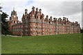
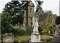
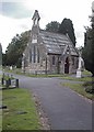
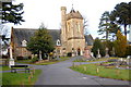
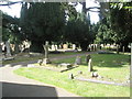
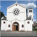
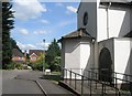
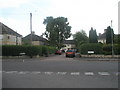
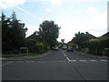
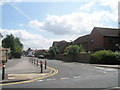
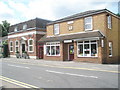
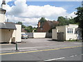
100 photos from this area
Area Information
Key information about the TW20 0BF including its size, population, and administrative classification.
- Area Type
- Postcode
- Area Size
- 2624 m²
- Population
- 1533
- Population Density
- 5100 people/km²
House Prices in TW20 0BF
26
Properties
£245,512
Average Sold Price
£167,500
Lowest Price
£420,000
Highest Price
Showing 26 properties
| Address | Type | Beds | Baths | Last Sale Price | Last Sale Date | |
|---|---|---|---|---|---|---|
| 19, Victoria Mews, St Judes Road, Englefield Green, TW20 0BF | Flat | 1 | 1 | £222,500 | Nov 2022 | |
| 16, Victoria Mews, St Judes Road, Englefield Green, TW20 0BF | Flat | 2 | 1 | £290,000 | Sep 2021 | |
| 22, Victoria Mews, St Judes Road, Englefield Green, TW20 0BF | Flat | 1 | 1 | £230,000 | Jun 2021 | |
| 21, Victoria Mews, St Judes Road, Englefield Green, TW20 0BF | Flat | 2 | - | £285,000 | Jun 2021 | |
| 23, Victoria Mews, St Judes Road, Englefield Green, TW20 0BF | Terraced | 3 | 2 | £420,000 | Jan 2020 | |
| 3, Victoria Mews, St Judes Road, Englefield Green, TW20 0BF | Flat | - | - | £332,000 | Dec 2017 | |
| 20, Victoria Mews, St Judes Road, Englefield Green, TW20 0BF | Flat | 1 | 1 | £255,000 | Oct 2017 | |
| 13, Victoria Mews, St Judes Road, Englefield Green, TW20 0BF | Flat | 2 | 1 | £342,000 | Feb 2016 | |
| 24, Victoria Mews, St Judes Road, Englefield Green, TW20 0BF | Terraced | 2 | 1 | £415,000 | Dec 2015 | |
| 5, Victoria Mews, St Judes Road, Englefield Green, TW20 0BF | Flat | 1 | 1 | £223,000 | Apr 2011 |
Page 1 of 3
Energy Efficiency in TW20 0BF
Amenities
Schools
| Rank | School | Type | Entry gender | Ages |
|---|
Explore more schools in this area
Go to Schools tabDemographics
Household Size
Family (3-5 people)
most common
Accommodation Type
Houses
most common
Tenure
45
majority
Ethnic Group
White
most common
Religion
N/A
most common
Household Composition
N/A
most common
Age
47
median
Adults (30-64 years)
most common
Household Deprivation
N/A
with no deprivation
NS-SEC
37
in Lower managerial occupations
Explore more demographic insights in this area
Go to Demographics tabPlanning
Planning Constraints
- Flood RiskPremium
- Ramsar Wetland SitesPremium
- Area of Outstanding Natural BeautyPremium
- Protected Nature ReservePremium
- Protected WoodlandPremium