Area Overview for TW19 7ST
Photos of TW19 7ST
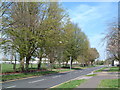
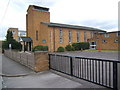
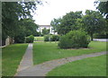
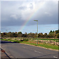
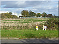
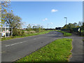
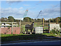
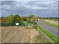
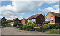
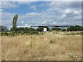
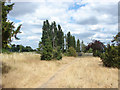
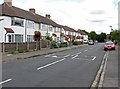
37 photos from this area
Area Information
Key information about the TW19 7ST including its size, population, and administrative classification.
- Area Type
- Postcode
- Area Size
- 8205 m²
- Population
- 2104
- Population Density
- 8460 people/km²
House Prices in TW19 7ST
34
Properties
£246,588
Average Sold Price
£41,200
Lowest Price
£530,000
Highest Price
Showing 34 properties
| Address | Type | Beds | Baths | Last Sale Price | Last Sale Date | |
|---|---|---|---|---|---|---|
| 50 Ravensbourne Avenue, Stanwell, TW19 7ST | Terraced | 3 | 1 | £417,000 | Jan 2025 | |
| 57 Ravensbourne Avenue, Stanwell, TW19 7ST | Terraced | 3 | 1 | £430,000 | Aug 2024 | |
| 32 Ravensbourne Avenue, Stanwell, TW19 7ST | Terraced | 2 | 1 | £400,000 | May 2023 | |
| 63 Ravensbourne Avenue, Stanwell, TW19 7ST | Terraced | 4 | 2 | £500,000 | Nov 2022 | |
| 60 Ravensbourne Avenue, Stanwell, TW19 7ST | Retail | 4 | 1 | £530,000 | Apr 2022 | |
| 44 Ravensbourne Avenue, Stanwell, TW19 7ST | Terraced | 3 | 2 | £340,000 | Feb 2021 | |
| 54 Ravensbourne Avenue, Stanwell, TW19 7ST | Terraced | 3 | 2 | £338,000 | Feb 2020 | |
| 42A Ravensbourne Avenue, Stanwell, TW19 7ST | Terraced | 2 | 1 | £280,000 | Aug 2019 | |
| 40 Ravensbourne Avenue, Stanwell, TW19 7ST | house | - | - | £310,000 | Jun 2018 | |
| 59 Ravensbourne Avenue, Stanwell, TW19 7ST | Terraced | 3 | - | £265,000 | Feb 2015 |
Page 1 of 4
Energy Efficiency in TW19 7ST
Amenities
Schools
| Rank | School | Type | Entry gender | Ages |
|---|
Explore more schools in this area
Go to Schools tabDemographics
Household Size
Family (3-5 people)
most common
Accommodation Type
Houses
most common
Tenure
61
majority
Ethnic Group
White
most common
Religion
N/A
most common
Household Composition
N/A
most common
Age
47
median
Adults (30-64 years)
most common
Household Deprivation
N/A
with no deprivation
NS-SEC
29
in Lower managerial occupations
Explore more demographic insights in this area
Go to Demographics tabPlanning
Planning Constraints
- Flood RiskPremium
- Ramsar Wetland SitesPremium
- Area of Outstanding Natural BeautyPremium
- Protected Nature ReservePremium
- Protected WoodlandPremium