Area Overview for TW19 7BS
Photos of TW19 7BS
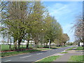
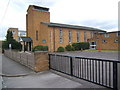
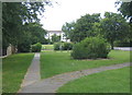
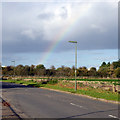
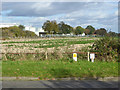
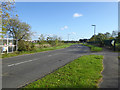
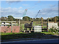
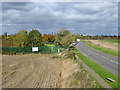
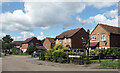
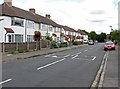
37 photos from this area
Area Information
Key information about the TW19 7BS including its size, population, and administrative classification.
- Area Type
- Postcode
- Area Size
- 5156 m²
- Population
- 1813
- Population Density
- 1832 people/km²
House Prices in TW19 7BS
18
Properties
£286,225
Average Sold Price
£109,500
Lowest Price
£465,000
Highest Price
Showing 18 properties
| Address | Type | Beds | Baths | Last Sale Price | Last Sale Date | |
|---|---|---|---|---|---|---|
| 14 Milton Gardens, Stanwell, TW19 7BS | Terraced | 1 | 1 | £277,200 | Nov 2024 | |
| 8 Milton Gardens, Stanwell, TW19 7BS | Detached | 2 | 1 | £385,000 | Sep 2024 | |
| 1 Milton Gardens, Stanwell, TW19 7BS | Detached | 3 | 2 | £465,000 | Jun 2024 | |
| 15 Milton Gardens, Stanwell, TW19 7BS | house | 3 | 1 | £430,000 | Jun 2023 | |
| 16 Milton Gardens, Stanwell, TW19 7BS | Semi-detached | 4 | 2 | £425,000 | Mar 2020 | |
| 10 Milton Gardens, Stanwell, TW19 7BS | Terraced | 2 | - | £250,000 | Mar 2015 | |
| 3 Milton Gardens, Stanwell, TW19 7BS | house | 3 | - | £249,000 | Jan 2014 | |
| 18 Milton Gardens, Stanwell, TW19 7BS | house | - | - | £240,000 | Jul 2011 | |
| 17 Milton Gardens, Stanwell, TW19 7BS | Semi-detached | - | - | £229,000 | Mar 2006 | |
| 13 Milton Gardens, Stanwell, TW19 7BS | Terraced | - | - | £153,000 | May 2005 |
Page 1 of 2
Energy Efficiency in TW19 7BS
Amenities
Schools
| Rank | School | Type | Entry gender | Ages |
|---|
Explore more schools in this area
Go to Schools tabDemographics
Household Size
Family (3-5 people)
most common
Accommodation Type
Houses
most common
Tenure
65
majority
Ethnic Group
White
most common
Religion
N/A
most common
Household Composition
N/A
most common
Age
47
median
Adults (30-64 years)
most common
Household Deprivation
N/A
with no deprivation
NS-SEC
32
in Lower managerial occupations
Explore more demographic insights in this area
Go to Demographics tabPlanning
Planning Constraints
- Flood RiskPremium
- Ramsar Wetland SitesPremium
- Area of Outstanding Natural BeautyPremium
- Protected Nature ReservePremium
- Protected WoodlandPremium