Area Overview for TW18 2SP
Photos of TW18 2SP
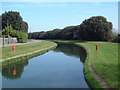
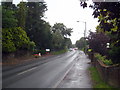
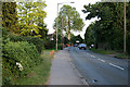
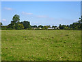
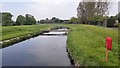
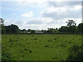
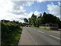
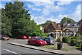
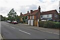
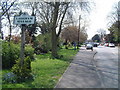
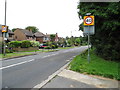
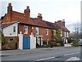
20 photos from this area
Area Information
Key information about the TW18 2SP including its size, population, and administrative classification.
- Area Type
- Postcode
- Area Size
- 5.8 hectares
- Population
- 1521
- Population Density
- 2134 people/km²
House Prices in TW18 2SP
40
Properties
£169,848
Average Sold Price
£73,000
Lowest Price
£420,000
Highest Price
Showing 40 properties
| Address | Type | Beds | Baths | Last Sale Price | Last Sale Date | |
|---|---|---|---|---|---|---|
| 35 Northfield Road, Laleham, TW18 2SP | Semi-detached | 2 | 1 | £378,000 | Dec 2022 | |
| 24 Northfield Road, Laleham, TW18 2SP | Semi-detached | 3 | 2 | £420,000 | Nov 2022 | |
| 8 Northfield Road, Laleham, TW18 2SP | Semi-detached | 3 | 1 | £330,000 | Jun 2021 | |
| 18 Northfield Road, Laleham, TW18 2SP | Semi-detached | 3 | 1 | £280,500 | Jan 2015 | |
| 32 Northfield Road, Laleham, TW18 2SP | Semi-detached | - | - | £102,675 | Aug 1999 | |
| 17 Northfield Road, Laleham, TW18 2SP | house | - | - | £80,000 | Feb 1997 | |
| 15 Northfield Road, Laleham, TW18 2SP | house | - | - | £73,000 | Nov 1996 | |
| 6 Northfield Road, Laleham, TW18 2SP | house | - | - | £75,000 | Nov 1996 | |
| 12 Northfield Road, Laleham, TW18 2SP | house | - | - | £74,000 | Nov 1996 | |
| 7 Northfield Road, Laleham, TW18 2SP | house | - | - | £76,000 | Nov 1996 |
Page 1 of 4
Energy Efficiency in TW18 2SP
Amenities
Schools
| Rank | School | Type | Entry gender | Ages |
|---|
Explore more schools in this area
Go to Schools tabDemographics
Household Size
Family (3-5 people)
most common
Accommodation Type
Houses
most common
Tenure
76
majority
Ethnic Group
White
most common
Religion
N/A
most common
Household Composition
N/A
most common
Age
47
median
Adults (30-64 years)
most common
Household Deprivation
N/A
with no deprivation
NS-SEC
36
in Lower managerial occupations
Explore more demographic insights in this area
Go to Demographics tabPlanning
Planning Constraints
- Flood RiskPremium
- Ramsar Wetland SitesPremium
- Area of Outstanding Natural BeautyPremium
- Protected Nature ReservePremium
- Protected WoodlandPremium