Area Overview for TW17 9ED
Photos of TW17 9ED
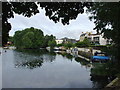
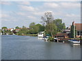
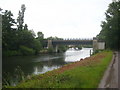
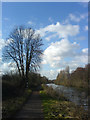
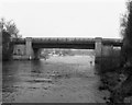
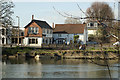
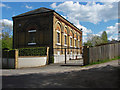

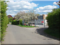
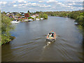
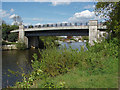
100 photos from this area
Area Information
Key information about the TW17 9ED including its size, population, and administrative classification.
- Area Type
- Postcode
- Area Size
- 4951 m²
- Population
- 1629
- Population Density
- 1049 people/km²
House Prices in TW17 9ED
11
Properties
£426,050
Average Sold Price
£150,000
Lowest Price
£880,000
Highest Price
Showing 11 properties
| Address | Type | Beds | Baths | Last Sale Price | Last Sale Date | |
|---|---|---|---|---|---|---|
| 12 Manygate Lane, Shepperton, TW17 9ED | Semi-detached | 4 | - | £815,000 | Apr 2022 | |
| 10 Manygate Lane, Shepperton, TW17 9ED | house | 2 | 1 | £880,000 | Mar 2021 | |
| 30 Manygate Lane, Shepperton, TW17 9ED | Detached | 3 | 1 | £700,000 | Aug 2015 | |
| 16 Manygate Lane, Shepperton, TW17 9ED | Semi-detached | - | - | £206,000 | Jul 2010 | |
| 22 Manygate Lane, Shepperton, TW17 9ED | Semi-detached | - | - | £314,500 | Aug 2005 | |
| 28 Manygate Lane, Shepperton, TW17 9ED | Detached | - | - | £455,000 | May 2005 | |
| 26 Manygate Lane, Shepperton, TW17 9ED | Semi-detached | - | - | £260,000 | May 2003 | |
| 14 Manygate Lane, Shepperton, TW17 9ED | Semi-detached | 3 | 1 | £270,000 | Mar 2002 | |
| 24 Manygate Lane, Shepperton, TW17 9ED | Semi-detached | - | - | £210,000 | Jul 2001 | |
| 20 Manygate Lane, Shepperton, TW17 9ED | Retirement | 2 | 2 | £150,000 | Sep 1997 |
Page 1 of 2
Energy Efficiency in TW17 9ED
Amenities
Schools
| Rank | School | Type | Entry gender | Ages |
|---|
Explore more schools in this area
Go to Schools tabDemographics
Household Size
Two person
most common
Accommodation Type
Houses
most common
Tenure
85
majority
Ethnic Group
White
most common
Religion
N/A
most common
Household Composition
N/A
most common
Age
47
median
Adults (30-64 years)
most common
Household Deprivation
N/A
with no deprivation
NS-SEC
44
in Lower managerial occupations
Explore more demographic insights in this area
Go to Demographics tabPlanning
Planning Constraints
- Flood RiskPremium
- Ramsar Wetland SitesPremium
- Area of Outstanding Natural BeautyPremium
- Protected Nature ReservePremium
- Protected WoodlandPremium