Area Overview for TW17 9BS
Photos of TW17 9BS
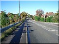
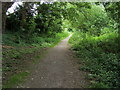
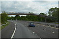
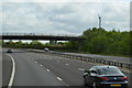
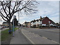
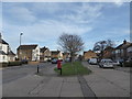
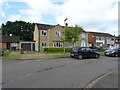
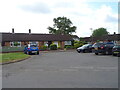
37 photos from this area
Area Information
Key information about the TW17 9BS including its size, population, and administrative classification.
- Area Type
- Postcode
- Area Size
- 8641 m²
- Population
- 1676
- Population Density
- 3254 people/km²
House Prices in TW17 9BS
19
Properties
£450,995
Average Sold Price
£192,500
Lowest Price
£620,000
Highest Price
Showing 19 properties
| Address | Type | Beds | Baths | Last Sale Price | Last Sale Date | |
|---|---|---|---|---|---|---|
| 6 Burchetts Way, Shepperton, TW17 9BS | Bungalow | 4 | 2 | £620,000 | Mar 2024 | |
| 3 Burchetts Way, Shepperton, TW17 9BS | house | - | - | £450,000 | Oct 2023 | |
| 22 Burchetts Way, Shepperton, TW17 9BS | Detached | 3 | 2 | £605,000 | Jul 2019 | |
| 20 Burchetts Way, Shepperton, TW17 9BS | Detached | 3 | - | £520,000 | Mar 2019 | |
| 18 Burchetts Way, Shepperton, TW17 9BS | Detached | 3 | 1 | £599,950 | Oct 2018 | |
| 14 Burchetts Way, Shepperton, TW17 9BS | Detached | 3 | 1 | £590,500 | Sep 2017 | |
| 1 Burchetts Way, Shepperton, TW17 9BS | house | 1 | - | £278,000 | Feb 2012 | |
| 4 Burchetts Way, Shepperton, TW17 9BS | house | 2 | - | £287,500 | Jun 2011 | |
| 28 Burchetts Way, Shepperton, TW17 9BS | Detached | 4 | - | £447,500 | Aug 2010 | |
| 24 Burchetts Way, Shepperton, TW17 9BS | Detached | - | - | £370,000 | Oct 2006 |
Page 1 of 2
Energy Efficiency in TW17 9BS
Amenities
Schools
| Rank | School | Type | Entry gender | Ages |
|---|
Explore more schools in this area
Go to Schools tabDemographics
Household Size
One person
most common
Accommodation Type
Houses
most common
Tenure
67
majority
Ethnic Group
White
most common
Religion
N/A
most common
Household Composition
N/A
most common
Age
47
median
Adults (30-64 years)
most common
Household Deprivation
N/A
with no deprivation
NS-SEC
39
in Lower managerial occupations
Explore more demographic insights in this area
Go to Demographics tabPlanning
Planning Constraints
- Flood RiskPremium
- Ramsar Wetland SitesPremium
- Area of Outstanding Natural BeautyPremium
- Protected Nature ReservePremium
- Protected WoodlandPremium