Area Overview for TW17 8QU
Photos of TW17 8QU
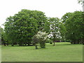
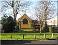
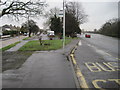
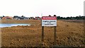
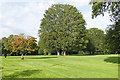
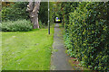

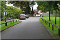
94 photos from this area
Area Information
Key information about the TW17 8QU including its size, population, and administrative classification.
- Area Type
- Postcode
- Area Size
- 7123 m²
- Population
- 1611
- Population Density
- 1256 people/km²
House Prices in TW17 8QU
10
Properties
£436,564
Average Sold Price
£169,000
Lowest Price
£610,000
Highest Price
Showing 10 properties
| Address | Type | Beds | Baths | Last Sale Price | Last Sale Date | |
|---|---|---|---|---|---|---|
| 84 Minsterley Avenue, Shepperton, TW17 8QU | Bungalow | 2 | 1 | £480,000 | Jun 2021 | |
| 74 Minsterley Avenue, Shepperton, TW17 8QU | Detached | 4 | 2 | £610,000 | Jul 2020 | |
| 68 Minsterley Avenue, Shepperton, TW17 8QU | house | - | - | £580,000 | Apr 2016 | |
| 82 Minsterley Avenue, Shepperton, TW17 8QU | house | 4 | - | £559,950 | Nov 2012 | |
| 76 Minsterley Avenue, Shepperton, TW17 8QU | Semi-detached | - | - | £425,000 | Jan 2004 | |
| 72 Minsterley Avenue, Shepperton, TW17 8QU | Detached | - | - | £232,000 | Jan 1999 | |
| 70 Minsterley Avenue, Shepperton, TW17 8QU | Detached | - | - | £169,000 | Nov 1996 | |
| 80 Minsterley Avenue, Shepperton, TW17 8QU | Detached | - | - | - | - | |
| 78 Minsterley Avenue, Shepperton, TW17 8QU | Detached | - | - | - | - | |
| 66 Minsterley Avenue, Shepperton, TW17 8QU | Detached | - | - | - | - |
Energy Efficiency in TW17 8QU
Amenities
Schools
| Rank | School | Type | Entry gender | Ages |
|---|
Explore more schools in this area
Go to Schools tabDemographics
Household Size
Family (3-5 people)
most common
Accommodation Type
Houses
most common
Tenure
72
majority
Ethnic Group
White
most common
Religion
N/A
most common
Household Composition
N/A
most common
Age
47
median
Adults (30-64 years)
most common
Household Deprivation
N/A
with no deprivation
NS-SEC
36
in Lower managerial occupations
Explore more demographic insights in this area
Go to Demographics tabPlanning
Planning Constraints
- Flood RiskPremium
- Ramsar Wetland SitesPremium
- Area of Outstanding Natural BeautyPremium
- Protected Nature ReservePremium
- Protected WoodlandPremium