Area Overview for TW17 0DB
Photos of TW17 0DB
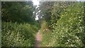
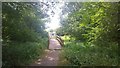
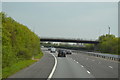
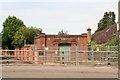
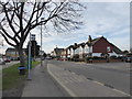
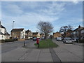
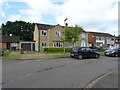
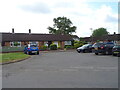
37 photos from this area
Area Information
Key information about the TW17 0DB including its size, population, and administrative classification.
- Area Type
- Postcode
- Area Size
- 7901 m²
- Population
- 1500
- Population Density
- 2640 people/km²
House Prices in TW17 0DB
25
Properties
£316,832
Average Sold Price
£114,500
Lowest Price
£530,000
Highest Price
Showing 25 properties
| Address | Type | Beds | Baths | Last Sale Price | Last Sale Date | |
|---|---|---|---|---|---|---|
| 166 Laleham Road, Shepperton, TW17 0DB | Semi-detached | 4 | 2 | £530,000 | Aug 2024 | |
| 194 Laleham Road, Shepperton, TW17 0DB | Terraced | 3 | 1 | £439,950 | Apr 2022 | |
| 202 Laleham Road, Shepperton, TW17 0DB | house | - | - | £415,000 | Aug 2017 | |
| 192 Laleham Road, Shepperton, TW17 0DB | house | - | - | £348,000 | Dec 2015 | |
| 190 Laleham Road, Shepperton, TW17 0DB | Semi-detached | 3 | - | £304,000 | Nov 2014 | |
| 178 Laleham Road, Shepperton, TW17 0DB | house | - | - | £283,800 | Jan 2013 | |
| 158 Laleham Road, Shepperton, TW17 0DB | Land | - | - | £370,000 | Feb 2010 | |
| 186 Laleham Road, Shepperton, TW17 0DB | Semi-detached | - | - | £249,950 | Oct 2004 | |
| 176 Laleham Road, Shepperton, TW17 0DB | Semi-detached | - | - | £200,000 | Dec 2002 | |
| 170 Laleham Road, Shepperton, TW17 0DB | Semi-detached | - | - | £229,950 | Jun 2002 |
Page 1 of 3
Energy Efficiency in TW17 0DB
Amenities
Schools
| Rank | School | Type | Entry gender | Ages |
|---|
Explore more schools in this area
Go to Schools tabDemographics
Household Size
Family (3-5 people)
most common
Accommodation Type
Houses
most common
Tenure
65
majority
Ethnic Group
White
most common
Religion
N/A
most common
Household Composition
N/A
most common
Age
47
median
Adults (30-64 years)
most common
Household Deprivation
N/A
with no deprivation
NS-SEC
33
in Lower managerial occupations
Explore more demographic insights in this area
Go to Demographics tabPlanning
Planning Constraints
- Flood RiskPremium
- Ramsar Wetland SitesPremium
- Area of Outstanding Natural BeautyPremium
- Protected Nature ReservePremium
- Protected WoodlandPremium